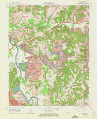
1963 Map of Paradise
USGS Topo · Published 1973About this map
The Green River serves as the dividing line between Ohio Co and Muhlenberg Co in this mid-century survey of Western Kentucky. The landscape is dominated by the industrial footprint of energy production, most notably the massive Us Reservation Tva Powerplant near the settlement of Paradise. Large-scale Strip Mine operations and associated Tailings Ponds have dramatically altered the terrain east of the river, where a system of Conveyor belts and rail lines support the power facility. Local history and genealogy are preserved in the locations of the Chapman Cem, Fulton Cem, and rural congregations like Pond Run Ch and Taylortown Ch. The Illinois Central railroad and the Western Kentucky Parkway provide major transit corridors through McHenry and Rockport, while smaller locales like Nineteen and Scottown dot the periphery of the coal-producing regions.
Find a feature on this map
42 named features on this map. Tap any name to fly to it.
Don’t see what you’re looking for? This feature index may not catch every label — zoom into the map to look around manually.
Map Details
Editions of this 1963 Paradise Map
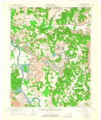
2 editions found
Other maps of this area

1909 · Hartford
USGS Topo · 1:62,500

1909 · Central City
USGS Topo · 1:62,500

1911 · Drakesboro
USGS Topo · 1:48,000

1911 · Dunmor
USGS Topo · 1:48,000

1913 · Drakesboro
USGS Topo · 1:62,500

1914 · Dunmor
USGS Topo · 1:62,500

1952 · Equality
USGS Topo · 1:24,000

1953 · Drakesboro
USGS Topo · 1:24,000

1953 · Central City East
USGS Topo · 1:24,000

1953 · South Hill
USGS Topo · 1:24,000