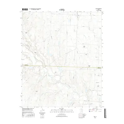
2016 Map of Era
USGS Topo · Published 2016About this map
The settlement of Era sits at the northern edge of this landscape, positioned along the intersection of FM 922 and Bolivar Rd. This portion of North Texas is characterized by a high density of private airfields and rural family cemeteries, tracing a history of ranching and early settlement patterns. Several landing strips, including Flying R Ranch Airport, Edgington Ranch Airport, and Akroville Airport, are scattered across the terrain, reflecting the modern utility of the flatlands and prairie ridges.
Find a feature on this map
59 named features on this map. Tap any name to fly to it.
Don’t see what you’re looking for? This feature index may not catch every label — zoom into the map to look around manually.
Map Details
Editions of this 2016 Era Map
This is the sole edition of this map. No revisions or reprints were ever made.
Other maps of this area

1902 · Gainesville
USGS Topo · 1:125,000

1943 · Gainesville
USGS Topo · 1:125,000

1954 · Sherman
USGS Topo · 1:250,000

1958 · Sherman
USGS Topo · 1:250,000

1960 · Sanger
USGS Topo · 1:24,000

1960 · Gainesville South
USGS Topo · 1:24,000

1961 · Freemound
USGS Topo · 1:24,000

1961 · Era
USGS Topo · 1:24,000

1961 · Slidell
USGS Topo · 1:24,000
1961 · Era SE
USGS Topo · 1:24,000