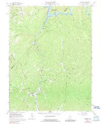
1967 Map of Erbacon
USGS Topo · Published 1989About this map
Centralia and Prestonia sit at the center of this mountain landscape, where the Baltimore and Ohio railroad follows the winding course of Laurel Creek. This 1967 survey captures the area as the Sutton Lake reservoir reaches into the Elk River valley, creating a new shoreline that borders the Elk River Public Hunting Area. The rugged terrain is defined by prominent ridges like Barker Ridge and Spruce Fork Ridge, with much of the land designated as Holly forest.
Find a feature on this map
43 named features on this map. Tap any name to fly to it.
Don’t see what you’re looking for? This feature index may not catch every label — zoom into the map to look around manually.
Map Details
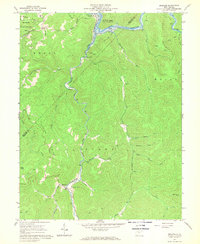
Editions of this 1967 Erbacon Map
2 editions found
Other maps of this area

1889 · Nicholas
USGS Topo · 1:125,000

1891 · Nicholas
USGS Topo · 1:125,000

1891 · Huntersville
USGS Topo · 1:125,000

1893 · Buckhannon
USGS Topo · 1:125,000

1893 · Sutton
USGS Topo · 1:125,000

1894 · Huntersville
USGS Topo · 1:125,000

1896 · Buckhannon
USGS Topo · 1:125,000

1897 · Buckhannon
USGS Topo · 1:125,000

1901 · Nicholas
USGS Topo · 1:125,000

1908 · Sutton
USGS Topo · 1:48,000