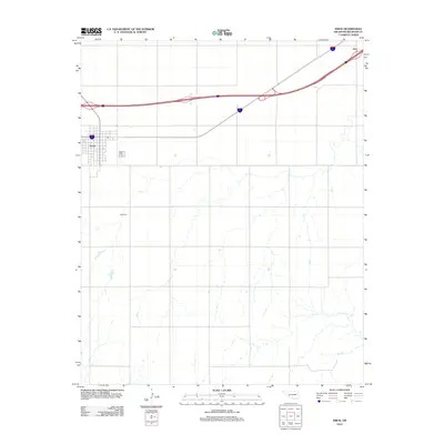
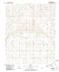
2012 Map of Erick
USGS Topo · Published 2012About this map
Erick stands as the primary hub of activity in this corner of Beckham County, defined by its grid-pattern streets and connection to the modern interstate system. The landscape here is deeply tied to the local community's history, evidenced by the Erick Cem located just south of the town center. To the northeast, the small settlement of Hext is situated along the main transportation corridor that cuts diagonally across the northern portion of the quadrangle. This 2012 survey illustrates a classic High Plains landscape, where the structured boundaries of land ownership and the paths of intermittent drainage creeks define the rural character outside of the established town limits.
Find a feature on this map
3 named features on this map. Tap any name to fly to it.
Don’t see what you’re looking for? This feature index may not catch every label — zoom into the map to look around manually.
Map Details
Editions of this 2012 Erick Map
This is the sole edition of this map. No revisions or reprints were ever made.
Other maps of this area

1955 · Clinton
USGS Topo · 1:250,000

1957 · Clinton
USGS Topo · 1:250,000
1960 · Sweetwater
USGS Topo · 1:62,500
1960 · Sayre
USGS Topo · 1:62,500
1961 · Willow
USGS Topo · 1:62,500
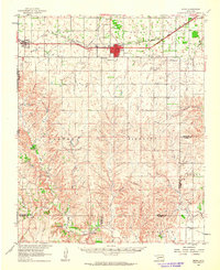
1961 · Erick
USGS Topo · 1:62,500
1985 · Elk City
USGS Topo · 1:100,000
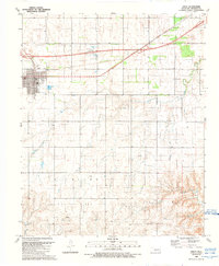
1989 · Erick
USGS Topo · 1:24,000
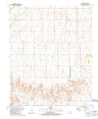
1989 · Delhi
USGS Topo · 1:24,000
1989 · Prentiss
USGS Topo · 1:24,000