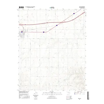
2016 Map of Erick
USGS Topo · Published 2016About this map
Erick stands as the primary hub of this western Oklahoma landscape, where the grid of the town site meets the expansive ranching and farming country of Beckham County. This 2016 survey shows the town's residential core, including streets like Plum St and S Sycamore Ave, as well as the nearby Erick Cem. To the northeast, the smaller settlement of Hext is situated along the main thoroughfare, while the surrounding terrain is defined by the drainage patterns of Turkey Cr, Haystack Cr, and Deer Cr. The map captures the highly organized section-line road system characteristic of the Great Plains, featuring routes such as N Boundry Rd and E 1230 Rd, which provide clear documentation of land divisions and property access in the modern era.
Find a feature on this map
52 named features on this map. Tap any name to fly to it.
Don’t see what you’re looking for? This feature index may not catch every label — zoom into the map to look around manually.
Map Details
Editions of this 2016 Erick Map
This is the sole edition of this map. No revisions or reprints were ever made.
Other maps of this area

1955 · Clinton
USGS Topo · 1:250,000

1957 · Clinton
USGS Topo · 1:250,000

1960 · Sweetwater
USGS Topo · 1:62,500

1960 · Sayre
USGS Topo · 1:62,500

1961 · Willow
USGS Topo · 1:62,500

1961 · Erick
USGS Topo · 1:62,500

1985 · Elk City
USGS Topo · 1:100,000
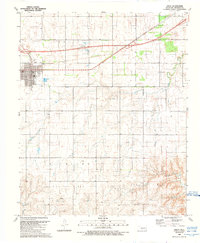
1989 · Erick
USGS Topo · 1:24,000
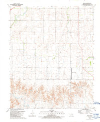
1989 · Delhi
USGS Topo · 1:24,000
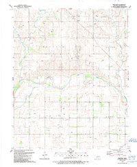
1989 · Prentiss
USGS Topo · 1:24,000