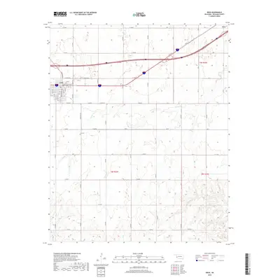
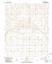
2018 Map of Erick
USGS Topo · Published 2018About this map
The town of Erick serves as the primary hub for this Western Oklahoma landscape, located near the Texas border. Its residential grid is well-defined, featuring streets such as Magnolia Ave, Maple Ave, and the namesake Sheb Wooley Ave. Just to the southeast, the Erick Cem provides a point of interest for local history and genealogical research. The surrounding terrain is defined by a dense network of sectional roads and the erosive patterns of several waterways, including Turkey Cr and Haystack Cr. In the northeastern corner, the small settlement of Hext sits along the major highway corridor. The map effectively illustrates the intersection of small-town Oklahoma life with the expansive agricultural sections of Beckham County, where drainage systems like Deer Cr and Fish Cr cut through the plains.
Find a feature on this map
48 named features on this map. Tap any name to fly to it.
Don’t see what you’re looking for? This feature index may not catch every label — zoom into the map to look around manually.
Map Details
Editions of this 2018 Erick Map
This is the sole edition of this map. No revisions or reprints were ever made.
Other maps of this area

1955 · Clinton
USGS Topo · 1:250,000

1957 · Clinton
USGS Topo · 1:250,000
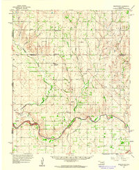
1960 · Sweetwater
USGS Topo · 1:62,500
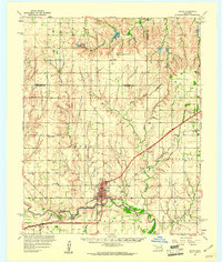
1960 · Sayre
USGS Topo · 1:62,500
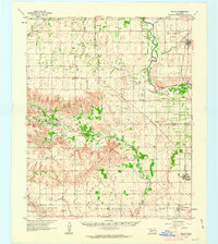
1961 · Willow
USGS Topo · 1:62,500
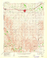
1961 · Erick
USGS Topo · 1:62,500
1985 · Elk City
USGS Topo · 1:100,000
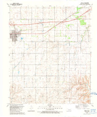
1989 · Erick
USGS Topo · 1:24,000
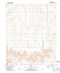
1989 · Delhi
USGS Topo · 1:24,000
1989 · Prentiss
USGS Topo · 1:24,000