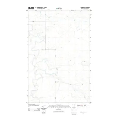
2013 Map of Ericsburg SW
USGS Topo · Published 2013About this map
Little Fork River meanders through this section of Koochiching County, defining the drainage patterns and low-lying topography of the Minnesota Northwoods. This 2013 survey illustrates a landscape primarily shaped by its waterways, including Beaver Brook, Ester Brook, and the Cross River confluence. Human imprint is concentrated along the north-south corridor of Co Hwy-8, with localized access provided by Town Road 152 and the isolated Old Galvin Ln. The map documents numerous unnamed unpaved tracks, such as Ut 149 and Ut 154, which imply a history of seasonal resource management or timber access in this sparsely populated territory. The intricate contour lines reveal the subtle elevation changes characteristic of the region's expansive wetlands and riparian zones.
Find a feature on this map
13 named features on this map. Tap any name to fly to it.
Don’t see what you’re looking for? This feature index may not catch every label — zoom into the map to look around manually.
Map Details
Editions of this 2013 Ericsburg SW Map
This is the sole edition of this map. No revisions or reprints were ever made.
Other maps of this area
1919 · Happy Land
USGS Topo · 1:62,500
1919 · M
USGS Topo · 1:62,500

1954 · International Falls
USGS Topo · 1:250,000

1957 · International Falls
USGS Topo · 1:250,000

1958 · International Falls
USGS Topo · 1:250,000
1969 · Ericsburg NW
USGS Topo · 1:24,000
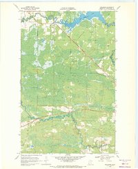
1969 · Ericsburg
USGS Topo · 1:24,000
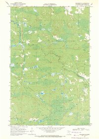
1969 · Ericsburg SE
USGS Topo · 1:24,000
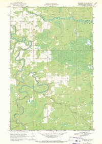
1969 · Ericsburg SW
USGS Topo · 1:24,000
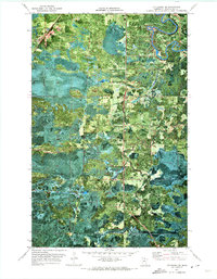
1970 · Littlefork SE
USGS Topo · 1:24,000