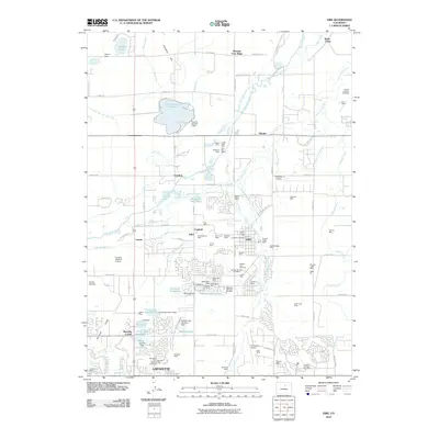
2010 Map of Erie
USGS Topo · Published 2010About this map
Lafayette and Erie anchor this landscape, revealing a high-plains geography defined by extensive coal mining history and complex water management. The subterranean legacy of the Northern Colorado Coal Field is visible through numerous named sites such as the Columbine Mine, Boulder Valley Mine, and Pallotts Coal Workings. These industrial sites are interspersed with agricultural infrastructure, specifically an intricate network of irrigation channels like the Lower Boulder Ditch and Boulder and Weld County Ditch that sustain the local basins.
Find a feature on this map
119 named features on this map. Tap any name to fly to it.
Don’t see what you’re looking for? This feature index may not catch every label — zoom into the map to look around manually.
Map Details
Editions of this 2010 Erie Map
This is the sole edition of this map. No revisions or reprints were ever made.
Other maps of this area

1890 · East Denver
USGS Topo · 1:125,000

1899 · West Denver
USGS Topo · 1:125,000

1902 · Greeley
USGS Topo · 1:125,000

1904 · Niwot
USGS Topo · 1:62,500

1940 · Eastlake
USGS Topo · 1:31,680

1940 · Lafayette
USGS Topo · 1:31,680

1942 · Louisville
USGS Topo · 1:31,680

1944 · Lafayette
USGS Topo · 1:31,680

1944 · Eastlake
USGS Topo · 1:31,680

1949 · Gowanda
USGS Topo · 1:24,000