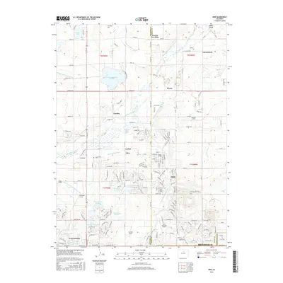
2016 Map of Erie
USGS Topo · Published 2016About this map
Erie serves as a central hub in this landscape of the Colorado Front Range, where the intersection of water engineering and suburban expansion is clearly visible. The map details an intricate network of irrigation systems, including the Boulder and Whiterock Ditch and the Lower Boulder Ditch, which feed numerous storage bodies like Panama Reservoir Number 1 and Prince Reservoir Number 2. This reliance on managed water historically supported agriculture, now giving way to residential developments and small airfields like Parkland Airport and Erie Municipal Airport.
Find a feature on this map
88 named features on this map. Tap any name to fly to it.
Don’t see what you’re looking for? This feature index may not catch every label — zoom into the map to look around manually.
Map Details
Editions of this 2016 Erie Map
This is the sole edition of this map. No revisions or reprints were ever made.
Other maps of this area

1890 · East Denver
USGS Topo · 1:125,000

1899 · West Denver
USGS Topo · 1:125,000

1902 · Greeley
USGS Topo · 1:125,000

1904 · Niwot
USGS Topo · 1:62,500

1940 · Eastlake
USGS Topo · 1:31,680

1940 · Lafayette
USGS Topo · 1:31,680

1942 · Louisville
USGS Topo · 1:31,680

1944 · Lafayette
USGS Topo · 1:31,680

1944 · Eastlake
USGS Topo · 1:31,680

1949 · Gowanda
USGS Topo · 1:24,000