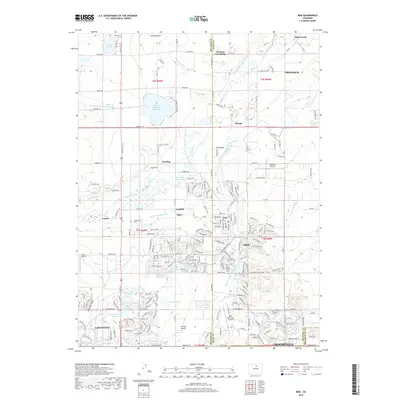
2019 Map of Erie
USGS Topo · Published 2019About this map
Lafayette and Erie anchor this detailed 2019 survey, illustrating the modern expansion across the Boulder and Weld County line. The landscape is defined by an intricate network of historical irrigation infrastructure, including the Whiterock Ditch, Liggett Ditch, and S Boulder Canyon Ditch, which still crisscross the terrain alongside large water bodies like Panama Reservoir Number 1 and Prince Lake Number 1. Small established settlements and rail-era locales such as Canfield, Tabor, Gooding, and Leyner are visible among the residential growth and remaining agricultural tracts. Aviation history is also represented by several local facilities, notably the Erie Municipal Airport and the smaller Parkland Airport. The map provides a clear look at the geological and topographical features of the area, from Standley Hill to the elevated Pleasant View Ridge.
Find a feature on this map
89 named features on this map. Tap any name to fly to it.
Don’t see what you’re looking for? This feature index may not catch every label — zoom into the map to look around manually.
Map Details
Editions of this 2019 Erie Map
This is the sole edition of this map. No revisions or reprints were ever made.
Other maps of this area

1890 · East Denver
USGS Topo · 1:125,000

1899 · West Denver
USGS Topo · 1:125,000

1902 · Greeley
USGS Topo · 1:125,000

1904 · Niwot
USGS Topo · 1:62,500

1940 · Eastlake
USGS Topo · 1:31,680

1940 · Lafayette
USGS Topo · 1:31,680

1942 · Louisville
USGS Topo · 1:31,680

1944 · Lafayette
USGS Topo · 1:31,680

1944 · Eastlake
USGS Topo · 1:31,680

1949 · Gowanda
USGS Topo · 1:24,000