1965 Map of Erie
USGS Topo · Published 1965About this map
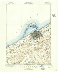
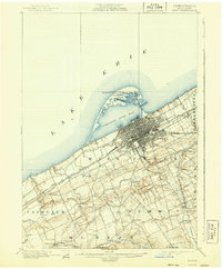
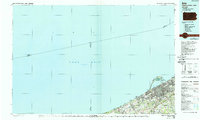
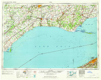
The northern shore of Lake Erie defines this mid-century portrait of Ontario's southern peninsula and the Pennsylvania coastline near Erie. The map documents a dense network of transit and trade, anchored by the significant hubs of London and St. Thomas and a series of harbor towns such as Port Dover and Port Burwell. The landscape is notably marked by several indigenous territories, including the Oneida Indian Reservation, Caradoc Indian Reservation, and the Six Nations Indian Reserve.
Find a feature on this map
119 named features on this map. Tap any name to fly to it.
Don’t see what you’re looking for? This feature index may not catch every label — zoom into the map to look around manually.
Map Details
Editions of this 1965 Erie Map
This is the sole edition of this map. No revisions or reprints were ever made.
Historical Maps of Erie Through Time
7 maps found