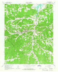
1965 Map of Erin
USGS Topo · Published 1966About this map
Erin serves as the central hub of this mid-1960s landscape, positioned where the Louisville and Nashville railroad tracks follow the valley floor between the high ridges of Stewart State Forest and the northern waters of Lake Barkley. The topography is defined by the prominent Tennessee Ridge, which directs a complex network of drainages such as Wells Creek and Erin Branch. This era shows a settled rural economy with small communities like Brownsville, Haggieville, and Dolomite scattered along the hollows and ridge roads.
Find a feature on this map
74 named features on this map. Tap any name to fly to it.
Don’t see what you’re looking for? This feature index may not catch every label — zoom into the map to look around manually.
Map Details
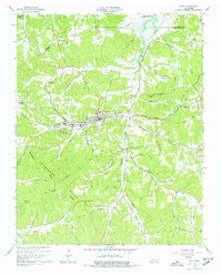
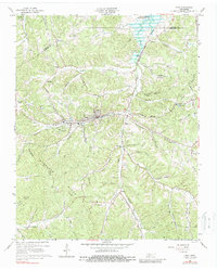
Editions of this 1965 Erin Map
3 editions found
Other maps of this area

1931 · Erin
USGS Topo · 1:62,500

1936 · Tantrough Hollow
USGS Topo · 1:24,000

1936 · Woolworth
USGS Topo · 1:24,000

1936 · Ruskin
USGS Topo · 1:24,000

1936 · Stewart
USGS Topo · 1:24,000

1936 · Halls Creek
USGS Topo · 1:24,000

1936 · Dover
USGS Topo · 1:24,000

1950 · Halls Creek
USGS Topo · 1:24,000

1950 · Stewart
USGS Topo · 1:24,000

1950 · Dover
USGS Topo · 1:24,000