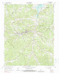
1965 Map of Erin
USGS Topo · Published 1988About this map
The town of Erin serves as a focal point in this mid-1960s survey of Houston County, where the Louisville and Nashville railroad tracks follow the valley floor through a landscape defined by the Tennessee Ridge Divide. The settlement pattern is deeply connected to the topography, with communities like Haggieville, Dolomite, and Brigham established along the many hollows and branches that feed into Wells Creek. To the north, the waters of Lake Barkley reach into the quadrangle near Lickskillet Ridge.
Find a feature on this map
56 named features on this map. Tap any name to fly to it.
Don’t see what you’re looking for? This feature index may not catch every label — zoom into the map to look around manually.
Map Details
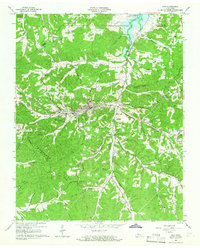
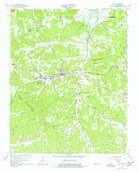
Editions of this 1965 Erin Map
3 editions found
Other maps of this area

1931 · Erin
USGS Topo · 1:62,500

1936 · Tantrough Hollow
USGS Topo · 1:24,000

1936 · Woolworth
USGS Topo · 1:24,000

1936 · Ruskin
USGS Topo · 1:24,000

1936 · Stewart
USGS Topo · 1:24,000

1936 · Halls Creek
USGS Topo · 1:24,000

1936 · Dover
USGS Topo · 1:24,000

1950 · Halls Creek
USGS Topo · 1:24,000

1950 · Stewart
USGS Topo · 1:24,000

1950 · Dover
USGS Topo · 1:24,000