Loading...
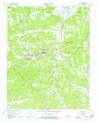
Loading map...1965 Map of Erin
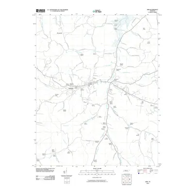
USGS Topo · Published 1977About this map
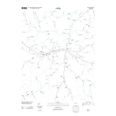
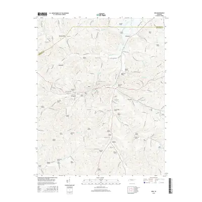
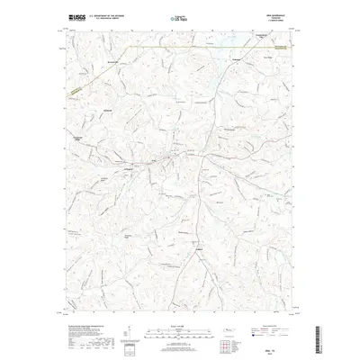
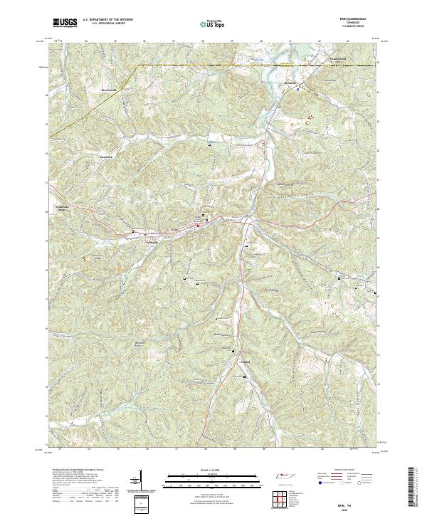
Erin serves as the central hub of this 1965 survey, situated at the junction of the Louisville and Nashville railroad and the Nashville and Louisville Road. The landscape is defined by the Tennessee Valley Divide, with numerous family-named hollows and branches radiating from the ridges. Local community life is anchored by institutions like Erin Sch, Peach Grove Ch, and Mt Sinai Ch.
Find a feature on this map
63 named features on this map. Tap any name to fly to it.
Don’t see what you’re looking for? This feature index may not catch every label — zoom into the map to look around manually.
Map Details
Date Portrayed1965
Date Published1977
PublisherU.S. Geological Survey
Map TypeTopographic
Scale1:24,000
Physical Dimensions22 x 27.4 inches
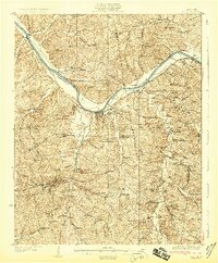
Editions of this 1965 Erin Map
3 editions found
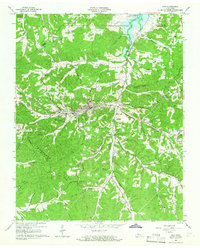

Historical Maps of Erin Through Time
7 maps found
Featured Locations
Source Details
SourceU.S. Geological Survey
CopyrightPublic Domain