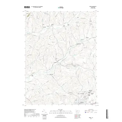
2019 Map of Ernest
USGS Topo · Published 2019About this map
Crooked Creek and its many tributaries, including South Branch Plum Creek and McKee Run, carve a complex pattern through the Indiana County landscape. This 2019 survey documents a region defined by scattered rural settlements and significant genealogical landmarks. To the south, the northern edge of Indiana meets several residential developments like Chevy Chase Heights and Bryan Hill Manor. Local heritage is preserved in numerous burial grounds such as Plum Creek Presbyterian Church Cem and Saint Bernards Cem. A unique concentration of historical infrastructure is visible along the waterways, where several notable crossings are found, including the Thomas Covered Bridge, Hammon Covered Bridge, and Trusal Covered Bridge. The map detail follows the transition from the relatively dense suburban fringes of Fowler Heights and Pleasant Hill to the rural expanses of Kimmel and Atwood.
Find a feature on this map
129 named features on this map. Tap any name to fly to it.
Don’t see what you’re looking for? This feature index may not catch every label — zoom into the map to look around manually.
Map Details
Editions of this 2019 Ernest Map
This is the sole edition of this map. No revisions or reprints were ever made.
Other maps of this area

1901 · Rural Valley
USGS Topo · 1:62,500

1902 · Indiana
USGS Topo · 1:62,500

1902 · Elders Ridge
USGS Topo · 1:62,500

1903 · Rural Valley
USGS Topo · 1:62,500

1904 · Elders Ridge
USGS Topo · 1:62,500

1909 · Smicksburg
USGS Topo · 1:62,500

1938 · Smicksburg
USGS Topo · 1:62,500

1939 · Smicksburg
USGS Topo · 1:62,500

1953 · Pittsburgh
USGS Topo · 1:250,000

1954 · Pittsburgh
USGS Topo · 1:250,000