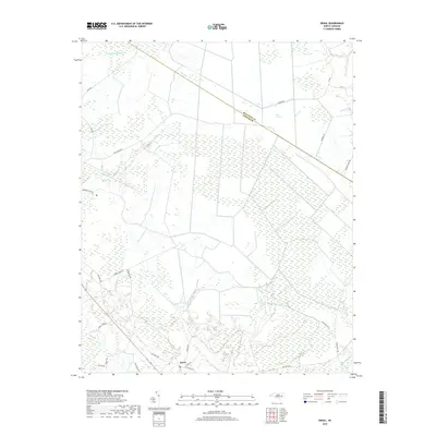
2019 Map of Ernul
USGS Topo · Published 2019About this map
Ernul anchors the southern portion of this landscape, situated near the headwaters of Beaverdam Swamp and Little Swift Cr. The terrain is defined by the intricate hydrology of the Inner Coastal Plain, where extensive wetlands like Big Pocosin and Palmetto Swamp dominate the north. These wetlands are bordered by the Beaufort County and Craven County line, which cuts diagonally across the timbered reaches. Settlement patterns follow the higher ground along rural routes such as Spruil Town Rd and Willis Neck Rd. The presence of labels like Willis Lndg along the creek systems and Old Brick Rd suggests the historical importance of small-scale transit and local industry in navigating this damp, low-lying environment. The mapping detail shows a network of family-named roads including Hudnell Rd and Elmon Rd, providing valuable points of reference for local genealogy.
Find a feature on this map
32 named features on this map. Tap any name to fly to it.
Don’t see what you’re looking for? This feature index may not catch every label — zoom into the map to look around manually.
Map Details
Editions of this 2019 Ernul Map
This is the sole edition of this map. No revisions or reprints were ever made.
Other maps of this area
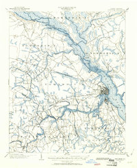
1901 · New Bern
USGS Topo · 1:62,500
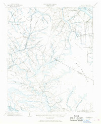
1902 · Vanceboro
USGS Topo · 1:62,500
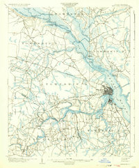
1903 · New Bern
USGS Topo · 1:62,500
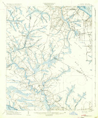
1904 · Vanceboro
USGS Topo · 1:62,500
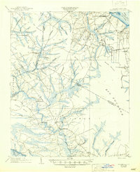
1905 · Vanceboro
USGS Topo · 1:62,500
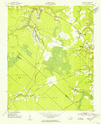
1950 · Edward
USGS Topo · 1:24,000
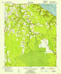
1951 · Hackney
USGS Topo · 1:24,000
1953 · Blounts Bay
USGS Topo · 1:24,000
1953 · Rocky Mount
USGS Topo · 1:250,000
1954 · Rocky Mount
USGS Topo · 1:250,000