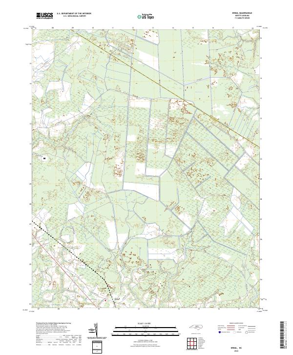
2022 Map of Ernul
USGS Topo · Published 2022About this map
Ernul serves as the primary settlement in this low-lying region of coastal North Carolina, where the landscape is defined by an extensive network of blackwater drainages and seasonal wetlands. The northern reaches are dominated by the Big Pocosin, a distinctive evergreen shrub bog characteristic of the Atlantic coastal plain. This wet wilderness is channeled through numerous named waterways including Palmetto Swamp, Maul Swamp, and Beaverdam Swamp. Along the southern boundary of the Beaufort County and Craven County line, the map details a rural infrastructure of family-named roads and landings. Locations such as Willis Lndg on the edge of the wetlands and routes like Spruill Town Rd and Macedonia Church Rd provide evidence of long-standing community ties to the land and its timber-rich swamps.
Find a feature on this map
32 named features on this map. Tap any name to fly to it.
Don’t see what you’re looking for? This feature index may not catch every label — zoom into the map to look around manually.
Map Details
Editions of this 2022 Ernul Map
This is the sole edition of this map. No revisions or reprints were ever made.
Other maps of this area

1901 · New Bern
USGS Topo · 1:62,500

1902 · Vanceboro
USGS Topo · 1:62,500

1903 · New Bern
USGS Topo · 1:62,500

1904 · Vanceboro
USGS Topo · 1:62,500

1905 · Vanceboro
USGS Topo · 1:62,500

1950 · Edward
USGS Topo · 1:24,000

1951 · Hackney
USGS Topo · 1:24,000

1953 · Blounts Bay
USGS Topo · 1:24,000

1953 · Rocky Mount
USGS Topo · 1:250,000

1954 · Rocky Mount
USGS Topo · 1:250,000