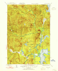
1930 Map of Errol
USGS Topo · Published 1955About this map
Wilsons Mills and the Magalloway River valley define the landscape of this northern borderland, surveyed in 1930. The terrain is characterized by a network of logging camps and remote farms, such as Swift Diamond Farm and Palmers Camp, reflecting the timber-driven economy of the early 20th century. Water management is evident through landmarks like the Dixie Dam and the Errol Dam, which regulate the flow of the Androscoggin River and its tributaries.
Find a feature on this map
97 named features on this map. Tap any name to fly to it.
Don’t see what you’re looking for? This feature index may not catch every label — zoom into the map to look around manually.
Map Details
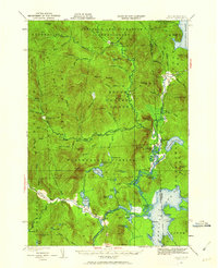
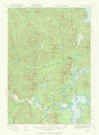
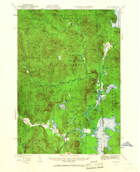
Editions of this 1930 Errol Map
5 editions found
Other maps of this area

1925 · Indian Stream
USGS Topo · 1:48,000

1926 · Indian Stream
USGS Topo · 1:62,500

1927 · Indian Stream
USGS Topo · 1:62,500

1927 · Second Lake
USGS Topo · 1:62,500

1930 · Milan
USGS Topo · 1:62,500

1930 · Percy
USGS Topo · 1:62,500

1930 · Dixville
USGS Topo · 1:62,500

1930 · Errol
USGS Topo · 1:62,500

1931 · Cupsuptic
USGS Topo · 1:48,000

1932 · Second Lake
USGS Topo · 1:62,500