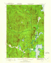
1930 Map of Errol
USGS Topo · Published 1962About this map
Errol sits at the southern edge of this 1930 survey, positioned at the confluence where Clear Stream and the Androscoggin River meet. This frontier landscape of the Second College Grant and Wentworths Location is defined by its complex timber and water networks, dominated by the Dead Diamond River and the expansive Aziscohos Lake along the Maine border. Isolated outposts like Swift Diamond Farm and Palmers Cabin suggest the remote logging and agricultural character of the era, while the presence of the Dixie Dam and Errol Dam points to the early industrial management of these northern waterways.
Find a feature on this map
93 named features on this map. Tap any name to fly to it.
Don’t see what you’re looking for? This feature index may not catch every label — zoom into the map to look around manually.
Map Details
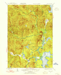
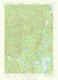
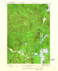
Editions of this 1930 Errol Map
5 editions found
Other maps of this area

1925 · Indian Stream
USGS Topo · 1:48,000

1926 · Indian Stream
USGS Topo · 1:62,500

1927 · Indian Stream
USGS Topo · 1:62,500

1927 · Second Lake
USGS Topo · 1:62,500

1930 · Milan
USGS Topo · 1:62,500

1930 · Percy
USGS Topo · 1:62,500

1930 · Dixville
USGS Topo · 1:62,500

1930 · Errol
USGS Topo · 1:62,500

1931 · Cupsuptic
USGS Topo · 1:48,000

1932 · Second Lake
USGS Topo · 1:62,500