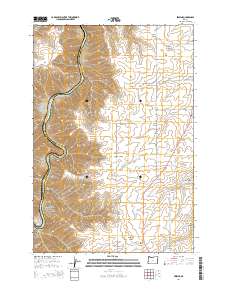
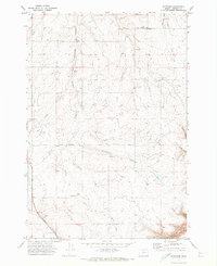
2014 Map of Erskine
USGS Topo · Published 2014About this map
The Deschutes River carves a deep, winding path along the western boundary of this landscape, separating Wasco and Sherman Counties. This 2014 survey captures the high plateau and canyon country of north-central Oregon, where the tiny settlement of Erskine sits along the Us-97 corridor. The terrain is defined by a dense network of steep drainages, including Barnum Canyon, Sixteen Canyon, and Macks Canyon, which cut through the tablelands toward the river valley.
Find a feature on this map
35 named features on this map. Tap any name to fly to it.
Don’t see what you’re looking for? This feature index may not catch every label — zoom into the map to look around manually.
Map Details
Editions of this 2014 Erskine Map
This is the sole edition of this map. No revisions or reprints were ever made.
Other maps of this area

1953 · The Dalles
USGS Topo · 1:250,000

1956 · The Dalles
USGS Topo · 1:250,000
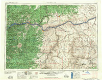
1957 · The Dalles
USGS Topo · 1:250,000
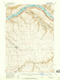
1957 · Wasco
USGS Topo · 1:62,500
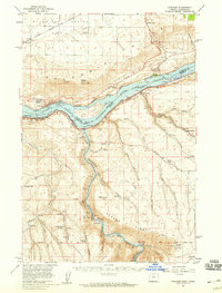
1957 · Wishram
USGS Topo · 1:62,500
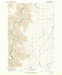
1962 · Erskine
USGS Topo · 1:24,000
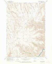
1962 · Summit Ridge
USGS Topo · 1:24,000
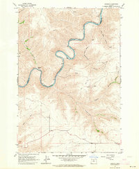
1962 · Sinamox
USGS Topo · 1:24,000
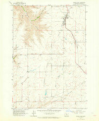
1962 · Grass Valley
USGS Topo · 1:24,000
1970 · Rosebush
USGS Topo · 1:24,000