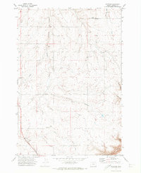
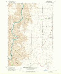
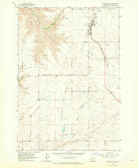
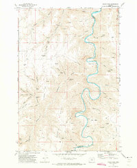
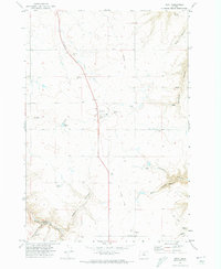
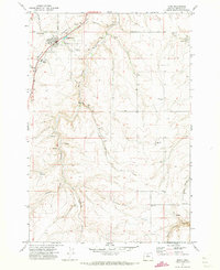
1970 Map of Rosebush
USGS Topo · Published 1973About this map
Rutledge and Bourbon anchor this high plateau landscape in Sherman County, where the agricultural and industrial patterns of the early 1970s are clearly defined. The rural economy is evidenced by the prominent Grain Elevator at Bourbon, while the transport history of the region is etched into the terrain by an Old Railroad Grade and the winding course of Rosebush Road. These human-made routes navigate a complex system of drainages, including Little Ferry Canyon, Dunlap Canyon, and Hayes Canyon.
Find a feature on this map
21 named features on this map. Tap any name to fly to it.
Don’t see what you’re looking for? This feature index may not catch every label — zoom into the map to look around manually.
Map Details
Editions of this 1970 Rosebush Map
This is the sole edition of this map. No revisions or reprints were ever made.
Other maps of this area

1953 · The Dalles
USGS Topo · 1:250,000

1956 · The Dalles
USGS Topo · 1:250,000

1957 · The Dalles
USGS Topo · 1:250,000
1962 · Erskine
USGS Topo · 1:24,000
1962 · Grass Valley
USGS Topo · 1:24,000
1970 · Indian Cove
USGS Topo · 1:24,000
1970 · Kent
USGS Topo · 1:24,000
1971 · Moro
USGS Topo · 1:24,000
1971 · Horseshoe Bend
USGS Topo · 1:24,000
1971 · Harmony
USGS Topo · 1:24,000