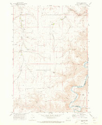
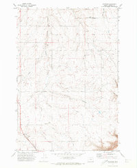
1971 Map of Harmony
USGS Topo · Published 1973About this map
Harmony and Bruckert sit within a high plateau landscape defined by the deep drainage systems of the John Day River. This 1970s survey captures a rural environment where infrastructure is shaped by the steep elevation changes of Hay Canyon and Cottonwood Canyon. The presence of the Grange Hall in Harmony suggests a community center for the surrounding dryland farmers and ranchers during this period. Navigation across the broken terrain relied on specialized routes like the Ruggles Grade, while the river itself forms a sharp southern boundary between Sherman and Gilliam counties. A private Landing Strip and numerous storage bins scattered near the canyon rims reflect the agricultural logistics required to move grain and equipment through a landscape cut by Deep Canyon and Willow Spring Canyon.
Find a feature on this map
21 named features on this map. Tap any name to fly to it.
Don’t see what you’re looking for? This feature index may not catch every label — zoom into the map to look around manually.
Map Details
Editions of this 1971 Harmony Map
This is the sole edition of this map. No revisions or reprints were ever made.
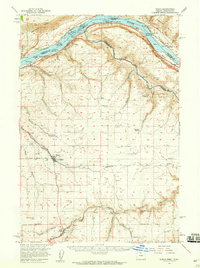
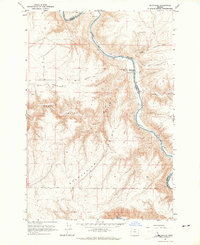
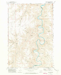
Other maps of this area

1916 · Arlington
USGS Topo · 1:125,000

1916 · Condon
USGS Topo · 1:125,000

1953 · The Dalles
USGS Topo · 1:250,000

1956 · The Dalles
USGS Topo · 1:250,000

1957 · The Dalles
USGS Topo · 1:250,000
1957 · Wasco
USGS Topo · 1:62,500
1964 · Mc Donald
USGS Topo · 1:24,000
1970 · Indian Cove
USGS Topo · 1:24,000
1970 · Rosebush
USGS Topo · 1:24,000
1970 · Esau Canyon
USGS Topo · 1:24,000