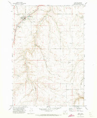
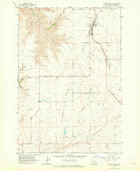
1971 Map of Moro
USGS Topo · Published 1973About this map
Moro serves as the central hub of this Sherman County landscape, appearing here as it was surveyed in the early 1970s. The town's civic character is anchored by the Sherman High Sch, the County Fairgrounds, and the Sherman Experiment Station, reflecting a community deeply tied to agricultural research and regional gatherings. To the north, the American Legion Cem and Rose Hill Cem provide important touchstones for local genealogical research.
Find a feature on this map
32 named features on this map. Tap any name to fly to it.
Don’t see what you’re looking for? This feature index may not catch every label — zoom into the map to look around manually.
Map Details
Editions of this 1971 Moro Map
This is the sole edition of this map. No revisions or reprints were ever made.
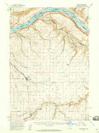
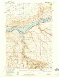
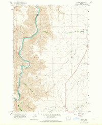
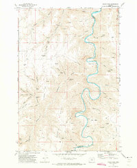
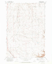
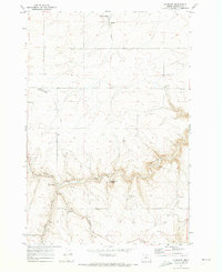
Other maps of this area

1953 · The Dalles
USGS Topo · 1:250,000

1956 · The Dalles
USGS Topo · 1:250,000

1957 · The Dalles
USGS Topo · 1:250,000
1957 · Wasco
USGS Topo · 1:62,500
1957 · Wishram
USGS Topo · 1:62,500
1962 · Erskine
USGS Topo · 1:24,000
1962 · Grass Valley
USGS Topo · 1:24,000
1970 · Indian Cove
USGS Topo · 1:24,000
1970 · Rosebush
USGS Topo · 1:24,000
1971 · Klondike
USGS Topo · 1:24,000