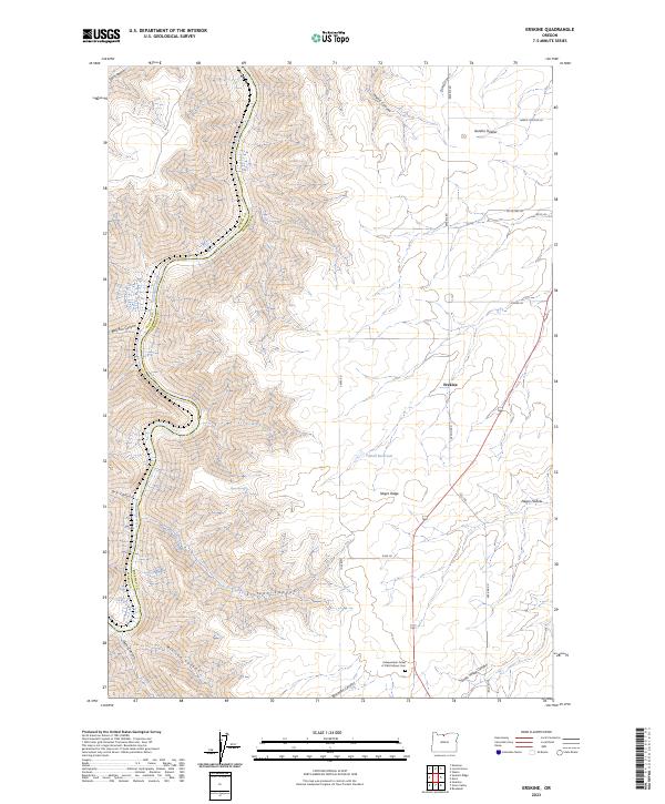
2023 Map of Erskine
USGS Topo · Published 2023About this map
The Wasco and Sherman County line follows the winding course of the Deschutes River as it carves through the high plateaus of north-central Oregon. This 2023 survey documents a landscape defined by deep incisions like Sixteen Canyon and Macks Canyon, which drain into the protected corridor of the Deschutes Wild and Scenic River. While the terrain is dominated by these dramatic drainages, the uplands are marked by the agricultural and social history of the region. The small settlement of Erskine and the Independent Order of Odd Fellows Cem serve as focal points for local history, reflecting the early rural community structure that persisted alongside the natural barrier of the river canyon. Features such as Powell Reservoir and Sheep Springs illustrate the vital importance of water management in this arid environment.
Find a feature on this map
33 named features on this map. Tap any name to fly to it.
Don’t see what you’re looking for? This feature index may not catch every label — zoom into the map to look around manually.
Map Details
Editions of this 2023 Erskine Map
This is the sole edition of this map. No revisions or reprints were ever made.
Other maps of this area

1953 · The Dalles
USGS Topo · 1:250,000

1956 · The Dalles
USGS Topo · 1:250,000

1957 · The Dalles
USGS Topo · 1:250,000

1957 · Wasco
USGS Topo · 1:62,500

1957 · Wishram
USGS Topo · 1:62,500

1962 · Erskine
USGS Topo · 1:24,000

1962 · Summit Ridge
USGS Topo · 1:24,000

1962 · Sinamox
USGS Topo · 1:24,000

1962 · Grass Valley
USGS Topo · 1:24,000

1970 · Rosebush
USGS Topo · 1:24,000