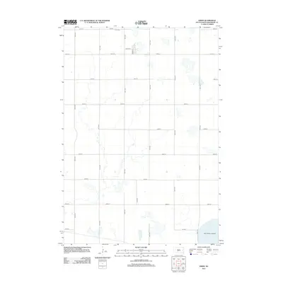
2012 Map of Erwin
USGS Topo · Published 2012About this map
Main St W and Owens St define the small residential grid of Erwin in this 2012 survey, where the town's footprint remains compact against the wide South Dakota prairie. The landscape is marked by numerous ephemeral water bodies and wetlands typical of the region, including the significant Lake Preston Lakebed occupying the southeast corner. Local history and genealogy are anchored at the Erwin Cem just north of the town center. The map reveals a strictly regulated section-line road system, with routes like Boss Rd and 200th St carving out a geometry that has shaped Kingsbury County's agricultural development for over a century.
Find a feature on this map
20 named features on this map. Tap any name to fly to it.
Don’t see what you’re looking for? This feature index may not catch every label — zoom into the map to look around manually.
Map Details
Editions of this 2012 Erwin Map
This is the sole edition of this map. No revisions or reprints were ever made.
Other maps of this area

1899 · De Smet
USGS Topo · 1:125,000

1953 · Watertown
USGS Topo · 1:250,000

1958 · Watertown
USGS Topo · 1:250,000

1968 · Lake Preston East
USGS Topo · 1:24,000

1968 · Lake Preston West
USGS Topo · 1:24,000

1968 · Lake Preston NE
USGS Topo · 1:24,000

1968 · Erwin
USGS Topo · 1:24,000

1971 · De Smet
USGS Topo · 1:24,000

1971 · De Smet SE
USGS Topo · 1:24,000

1973 · Bryant
USGS Topo · 1:24,000