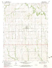
1969 Map of Esbon
USGS Topo · Published 1983About this map
Esbon sits at the heart of this Jewell County landscape, defined by its position along the Chicago Rock Island and Pacific railroad line. The surrounding prairie is bisected by a network of drainage systems, including White Rock Creek and its tributaries, while the prominent White Mound rises in the north-central portion of the quadrangle. This 1960s-era survey reveals a community deeply rooted in its rural foundations, evidenced by the numerous cemeteries scattered across the townships, such as Salem Cem, Prairie Home Cem, and Zion Cem. Local gathering points like the Westside Community Center and the Roadside Park anchor the social geography of the area. Several limestone quarries are also marked, suggesting the importance of local stone for building and infrastructure in this part of north-central Kansas.
Find a feature on this map
20 named features on this map. Tap any name to fly to it.
Don’t see what you’re looking for? This feature index may not catch every label — zoom into the map to look around manually.
Map Details
Editions of this 1969 Esbon Map
2 editions found
Other maps of this area

1893 · Smith Center
USGS Topo · 1:125,000

1894 · Mankato
USGS Topo · 1:125,000

1955 · Beloit
USGS Topo · 1:250,000

1959 · Beloit
USGS Topo · 1:250,000
1968 · Burr Oak NW
USGS Topo · 1:24,000

1968 · Burr Oak
USGS Topo · 1:24,000
1969 · Ionia
USGS Topo · 1:24,000
1969 · Cawker City NW
USGS Topo · 1:24,000
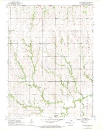
1969 · North Branch
USGS Topo · 1:24,000
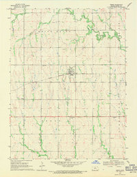
1969 · Esbon
USGS Topo · 1:24,000