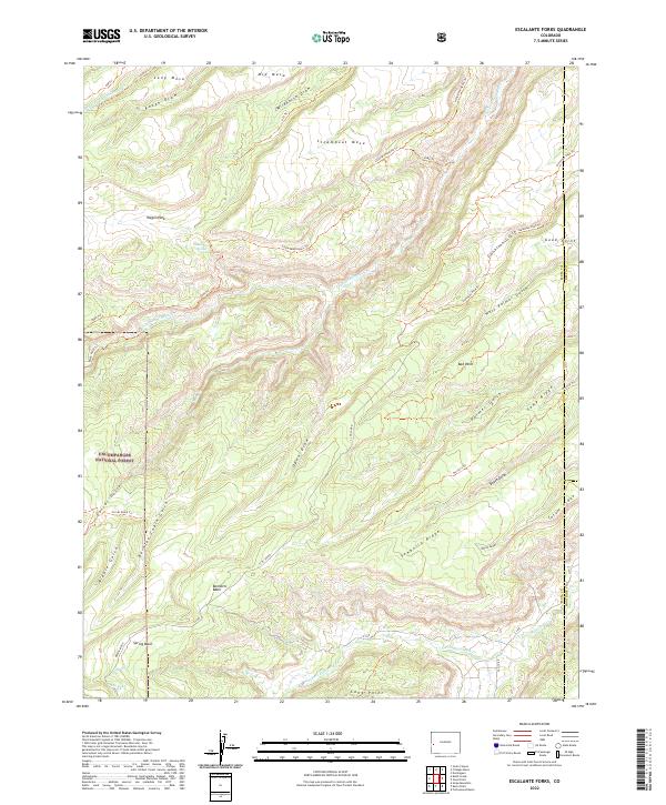
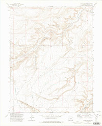
2022 Map of Escalante Forks
USGS Topo · Published 2022About this map
Uncompahgre National Forest encompasses much of this high-plateau landscape, where the geography is defined by deep draws and prominent mesas. The terrain transitions from the broad expanses of Steamboat Mesa and Long Mesa in the north down into a complex network of drainages including Barklay Cabin Gulch and Corral Gulch. These natural corridors have long dictated movement through the region, as evidenced by the established routes like the Gunnison Pack Trl and Little Dominguez Trl.
Find a feature on this map
51 named features on this map. Tap any name to fly to it.
Don’t see what you’re looking for? This feature index may not catch every label — zoom into the map to look around manually.
Map Details
Editions of this 2022 Escalante Forks Map
This is the sole edition of this map. No revisions or reprints were ever made.
Other maps of this area

1956 · Moab
USGS Topo · 1:250,000

1959 · Moab
USGS Topo · 1:250,000

1960 · Moab
USGS Topo · 1:250,000

1962 · Moab
USGS Topo · 1:250,000

1964 · Moab
USGS Topo · 1:250,000

1965 · Moab
USGS Topo · 1:250,000
1969 · Triangle Mesa
USGS Topo · 1:24,000
1969 · Dominguez
USGS Topo · 1:24,000
1969 · Good Point
USGS Topo · 1:24,000
1972 · Jacks Canyon
USGS Topo · 1:24,000