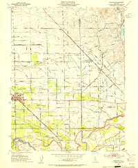
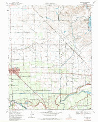
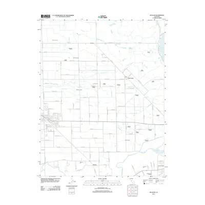
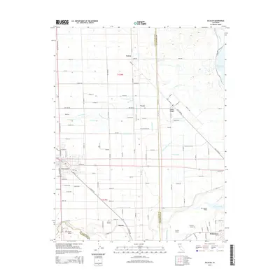
2021 Map of Escalon
USGS Topo · Published 2021About this map
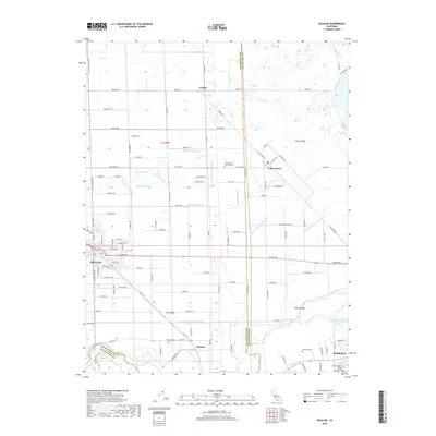
The Stanislaus River defines the southern boundary of this landscape, where the agricultural heart of the San Joaquin Valley meets the irrigation networks of the early 21st century. The city of Escalon serves as a primary hub in the west, while the northern reaches of Oakdale anchor the southeast corner. A complex web of water management is visible through the South San Joaquin Main Canal and its numerous branches, including the Cometa Lateral, Edwards Lateral, and Crouch Lateral. These man-made waterways support the surrounding farms and smaller settlements like Valley Home and Huntley. Researchers can find evidence of early rural community life at Burwood Cem and the Valley Home Memorial Park, while the strictly gridded road system, featuring routes like Lone Tree Rd and Valley Home Rd, reveals the enduring structure of the region's township and range surveying.
Find a feature on this map
121 named features on this map. Tap any name to fly to it.
Don’t see what you’re looking for? This feature index may not catch every label — zoom into the map to look around manually.
Map Details
Editions of this 2021 Escalon Map
This is the sole edition of this map. No revisions or reprints were ever made.
Historical Maps of Oakdale Through Time
6 maps found