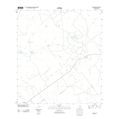
2013 Map of Escobas
USGS Topo · Published 2013About this map
The settlement of Escobas anchors this South Texas landscape, where the ephemeral waterways of Zapata County define the ranching patterns of the early twenty-first century. This arid terrain is marked by a complex network of stock tanks and seasonal drainages, including Escobas Cr and Taquache Cr, which support the region's agricultural life. Numerous named reservoirs such as Salomoneno Tank, Negras Tank, and La-Mota Tank illustrate the critical importance of water management in this brush-country environment.
Find a feature on this map
27 named features on this map. Tap any name to fly to it.
Don’t see what you’re looking for? This feature index may not catch every label — zoom into the map to look around manually.
Map Details
Editions of this 2013 Escobas Map
This is the sole edition of this map. No revisions or reprints were ever made.
Other maps of this area
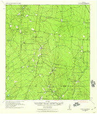
1938 · Cuevitas
USGS Topo · 1:62,500
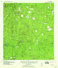
1939 · Randado
USGS Topo · 1:62,500
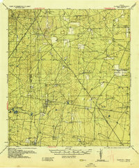
1940 · Randado
USGS Topo · 1:62,500
1940 · Mogotes Hill
USGS Topo · 1:62,500
1949 · Mc Allen
USGS Topo · 1:250,000
1954 · McAllen
USGS Topo · 1:250,000
1956 · Mogotes Hill
USGS Topo · 1:62,500
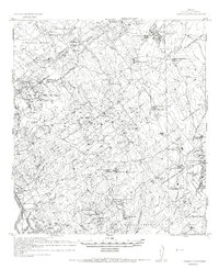
1956 · Arroyo Clareno
USGS Topo · 1:62,500
1956 · Laredo
USGS Topo · 1:250,000
1957 · Mc Allen
USGS Topo · 1:250,000