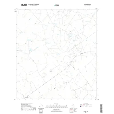
2019 Map of Escobas
USGS Topo · Published 2019About this map
The brush country of Zapata County is defined by a complex network of ephemeral drainages and stock tanks essential for ranching in this arid South Texas landscape. Small settlements like Escobas and Bustamante anchor the region, connected by long straight stretches of road such as Jennings Rd and Hayes Rd. The distribution of water sources, from the Lauro Garza Lake Number 1 to various named collection points like Salomoneno Tank, Cerrito Blanco Tank, and Negras Tank, reveals the fundamental reliance on carefully managed water infrastructure for local livestock. Genealogists will find interest in the isolated rural burial grounds of Gracia Cem and Cameron Cem, which sit amidst the drainage systems of Escobas Cr and Arroyo Salado. The landscape is further characterized by numerous smaller waterways, including Taquache Cr and Tejones Cr, which only flow during significant rainfall events.
Find a feature on this map
24 named features on this map. Tap any name to fly to it.
Don’t see what you’re looking for? This feature index may not catch every label — zoom into the map to look around manually.
Map Details
Editions of this 2019 Escobas Map
This is the sole edition of this map. No revisions or reprints were ever made.
Other maps of this area
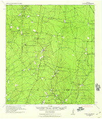
1938 · Cuevitas
USGS Topo · 1:62,500
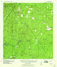
1939 · Randado
USGS Topo · 1:62,500
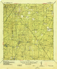
1940 · Randado
USGS Topo · 1:62,500
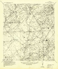
1940 · Mogotes Hill
USGS Topo · 1:62,500
1949 · Mc Allen
USGS Topo · 1:250,000
1954 · McAllen
USGS Topo · 1:250,000
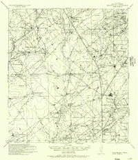
1956 · Mogotes Hill
USGS Topo · 1:62,500
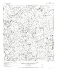
1956 · Arroyo Clareno
USGS Topo · 1:62,500
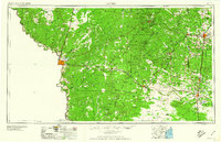
1956 · Laredo
USGS Topo · 1:250,000
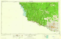
1957 · Mc Allen
USGS Topo · 1:250,000