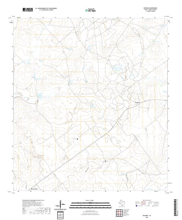
2022 Map of Escobas
USGS Topo · Published 2022About this map
The arid ranchlands of Zapata County are defined by a complex network of ephemeral drainages and vital water catchments in this 2022 survey. Small rural clusters at Escobas and Bustamante serve as primary points of reference in a landscape dominated by livestock tanks and seasonal creeks like Escobas Cr and Arroyo Salado. This area illustrates the persistence of South Texas ranching culture, where water management is visible through numerous named catchments such as Vidal Tank, Salomoneno Tank, and Rancho Viejo Tank. Local history and family ties are preserved at the Garcia Cem and Cameron Cem, which sit alongside established routes like Jennings Rd and Dorace Goodman Rd. The presence of larger bodies such as Tom East Lake and Lauro Garza Lake Number 1 emphasizes the importance of hydraulic engineering in sustaining this cattle-country environment.
Find a feature on this map
24 named features on this map. Tap any name to fly to it.
Don’t see what you’re looking for? This feature index may not catch every label — zoom into the map to look around manually.
Map Details
Editions of this 2022 Escobas Map
This is the sole edition of this map. No revisions or reprints were ever made.
Other maps of this area

1938 · Cuevitas
USGS Topo · 1:62,500

1939 · Randado
USGS Topo · 1:62,500

1940 · Randado
USGS Topo · 1:62,500

1940 · Mogotes Hill
USGS Topo · 1:62,500

1949 · Mc Allen
USGS Topo · 1:250,000

1954 · McAllen
USGS Topo · 1:250,000

1956 · Mogotes Hill
USGS Topo · 1:62,500

1956 · Arroyo Clareno
USGS Topo · 1:62,500

1956 · Laredo
USGS Topo · 1:250,000

1957 · Mc Allen
USGS Topo · 1:250,000