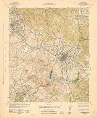
1942 Map of Escondido
USGS Topo · Published 1942About this map
Escondido serves as the primary hub of this 1942 survey, showing the city's grid before the post-war suburban expansion. The surrounding landscape is defined by the Santa Fe railroad's Escondido Branch and the winding course of the San Dieguito River. Significant water infrastructure is prominent, including the large Lake Hodges and the Pechstein Reservoir, which supported the region's agricultural growth.
Find a feature on this map
47 named features on this map. Tap any name to fly to it.
Don’t see what you’re looking for? This feature index may not catch every label — zoom into the map to look around manually.
Map Details
Editions of this 1942 Escondido Map
This is the sole edition of this map. No revisions or reprints were ever made.
Other maps of this area
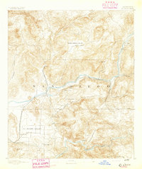
1893 · El Cajon
USGS Topo · 1:62,500
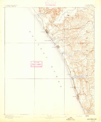
1893 · Oceanside
USGS Topo · 1:62,500
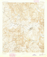
1893 · Escondido
USGS Topo · 1:62,500
1898 · Oceanside
USGS Topo · 1:62,500
1901 · Elcajon
USGS Topo · 1:62,500
1901 · Escondido
USGS Topo · 1:62,500
1901 · Oceanside
USGS Topo · 1:62,500
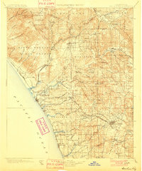
1901 · San Luis Rey
USGS Topo · 1:125,000
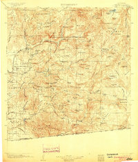
1903 · Cuyamaca
USGS Topo · 1:125,000
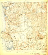
1903 · La Jolla
USGS Topo · 1:62,500