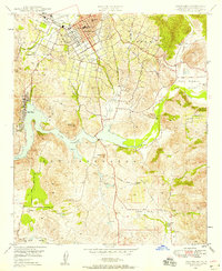
1948 Map of Escondido
USGS Topo · Published 1958About this map
Escondido sits at the northern edge of this late-1940s landscape, centered on a grid of streets including Grand Avenue and North Tulip Street. The town's educational infrastructure is well-defined by the Union High Sch and Union Elementary Schools, while the local economy and agriculture are represented by the long-standing Bernardo Winery. To the south, the massive Lake Hodges dominates the terrain, created by a complex system of water management including Santa Ysabel Creek and various structures like Dam 382.
Find a feature on this map
33 named features on this map. Tap any name to fly to it.
Don’t see what you’re looking for? This feature index may not catch every label — zoom into the map to look around manually.
Map Details
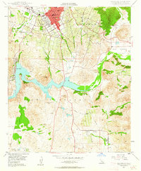
Editions of this 1948 Escondido Map
2 editions found
Other maps of this area

1893 · El Cajon
USGS Topo · 1:62,500

1893 · Escondido
USGS Topo · 1:62,500

1901 · Elcajon
USGS Topo · 1:62,500

1901 · Escondido
USGS Topo · 1:62,500

1901 · San Luis Rey
USGS Topo · 1:125,000

1903 · Cuyamaca
USGS Topo · 1:125,000

1903 · La Jolla
USGS Topo · 1:62,500

1903 · Elcajon
USGS Topo · 1:62,500

1903 · Ramona
USGS Topo · 1:125,000

1904 · Southern California Sheet No. 2
USGS Topo · 1:250,000