Loading...
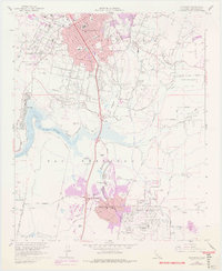
Loading map...1968 Map of Escondido
USGS Topo · Published 1970About this map
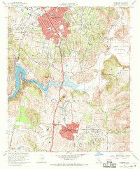
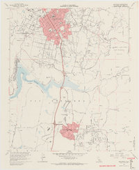
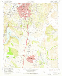
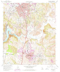
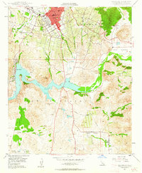
Escondido and its surrounding inland valleys are captured during a period of significant suburban expansion in the late 1960s. The urban core of the city is clearly defined, showing City Hall and numerous educational institutions like St Marys Sch and Juniper Sch. To the south, the emergence of Rancho Bernardo and the Rancho Bernardo Country Club signals the transformation of formerly agricultural lands into master-planned communities.
Find a feature on this map
45 named features on this map. Tap any name to fly to it.
Don’t see what you’re looking for? This feature index may not catch every label — zoom into the map to look around manually.
Map Details
Date Portrayed1968
Date Published1970
PublisherU.S. Geological Survey
Map TypeTopographic
Scale1:24000
Physical Dimensions22 x 26.7 inches
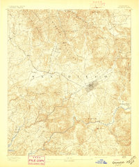
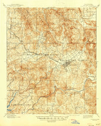
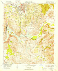
Editions of this 1968 Escondido Map
5 editions found
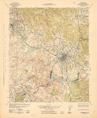
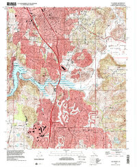
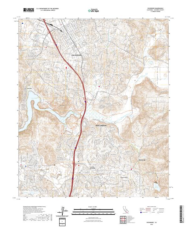
Historical Maps of San Diego Through Time
8 maps found
Featured Locations
Source Details
SourceU.S. Geological Survey
CopyrightPublic Domain