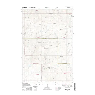
2014 Map of Esmeralda Hill
USGS Topo · Published 2014About this map
Esmeralda Hill stands at the center of this high-elevation terrain along the boundary of Lewis and Clark and Powell Counties. The landscape is defined by an intricate network of drainages and named gulches within the Helena National Forest, reflecting a legacy of resource extraction and mountain navigation. Several family-named landmarks suggest early prospecting or ranching history, including McGuire Gulch, Jerusha Gulch, and Meyers Hill.
Find a feature on this map
56 named features on this map. Tap any name to fly to it.
Don’t see what you’re looking for? This feature index may not catch every label — zoom into the map to look around manually.
Map Details
Editions of this 2014 Esmeralda Hill Map
This is the sole edition of this map. No revisions or reprints were ever made.
Other maps of this area

1889 · Helena
USGS Topo · 1:250,000

1893 · Helena
USGS Topo · 1:250,000

1899 · Helena
USGS Topo · 1:250,000

1903 · Helena
USGS Topo · 1:250,000

1947 · Butte
USGS Topo · 1:250,000

1958 · Butte
USGS Topo · 1:250,000

1958 · Avon
USGS Topo · 1:62,500

1959 · Elliston
USGS Topo · 1:62,500

1960 · Butte
USGS Topo · 1:250,000

1962 · Butte
USGS Topo · 1:250,000