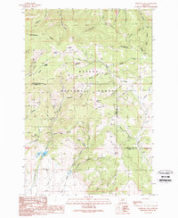
1989 Map of Esmeralda Hill
USGS Topo · Published 1989About this map
The Continental Divide winds through this 1989 topographic study of the Helena National Forest, straddling the border of Lewis and Clark and Powell counties. The landscape is defined by its deep drainages and mineral history, with numerous prospects, a mine shaft, and an adit located near Ophir Creek. This high-elevation terrain contains unique features like Ophir Cave and Esmeralda Hill, illustrating the remote character of the Montana backcountry during the late twentieth century.
Find a feature on this map
56 named features on this map. Tap any name to fly to it.
Don’t see what you’re looking for? This feature index may not catch every label — zoom into the map to look around manually.
Map Details
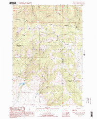
Editions of this 1989 Esmeralda Hill Map
2 editions found
Other maps of this area

1889 · Helena
USGS Topo · 1:250,000

1893 · Helena
USGS Topo · 1:250,000

1899 · Helena
USGS Topo · 1:250,000

1903 · Helena
USGS Topo · 1:250,000

1947 · Butte
USGS Topo · 1:250,000

1958 · Butte
USGS Topo · 1:250,000

1958 · Avon
USGS Topo · 1:62,500

1959 · Elliston
USGS Topo · 1:62,500

1960 · Butte
USGS Topo · 1:250,000

1962 · Butte
USGS Topo · 1:250,000