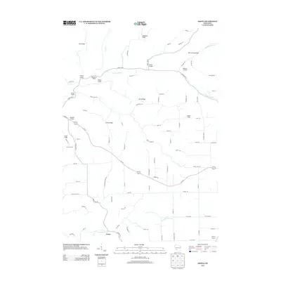
2013 Map of Esofea
USGS Topo · Published 2013About this map
Esofea anchors the southern portion of this landscape, situated near the winding course of the N Fork Bad Axe River. This region of Vernon County is defined by its dramatic driftless-style topography, where high ridges like North Ridge, Bohemian Ridge, and West Portland Ridge separate deep drainage coulees. The names on the land reflect a strong heritage of Scandinavian and European settlement, with features such as Rundahl Coulee, Lindvig Ridge, and Lovaas Ridge marking the family-owned hillsides and valleys. A dense network of local roads, including Meyer Rd and Bagstad Ln, connects these isolated homesteads and ridges. Significant watercourses like Coon Cr, German Coulee, and Timber Coulee Cr carve through the terrain, illustrating the complex watershed that drains toward the Mississippi River system.
Find a feature on this map
84 named features on this map. Tap any name to fly to it.
Don’t see what you’re looking for? This feature index may not catch every label — zoom into the map to look around manually.
Map Details
Editions of this 2013 Esofea Map
This is the sole edition of this map. No revisions or reprints were ever made.
Other maps of this area

1909 · Sparta
USGS Topo · 1:62,500

1923 · Viroqua
USGS Topo · 1:62,500

1926 · Stoddard
USGS Topo · 1:62,500

1926 · Viroqua
USGS Topo · 1:62,500

1927 · La Crosse
USGS Topo · 1:62,500

1930 · La Crosse
USGS Topo · 1:62,500

1947 · Sparta
USGS Topo · 1:62,500

1949 · Sparta
USGS Topo · 1:62,500

1958 · La Crosse
USGS Topo · 1:250,000

1961 · La Crosse
USGS Topo · 1:250,000