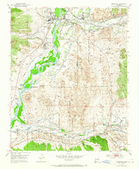
1953 Map of Espanola
USGS Topo · Published 1965About this map
The confluence of the Rio Grande and the Santa Cruz River anchors this mid-century survey of northern New Mexico, revealing a landscape defined by ancestral tribal lands and Spanish land grants. The irrigation network is particularly dense, with numerous named acequias including the Guachupangue Ditch, Llano Ditch, and Mexican Ditch supporting agriculture in the valley. Indigenous heritage is central to the area, with the Santa Clara Pueblo and San Ildefonso Pueblo bordering the river, while religious and educational centers like McCurdy Sch and Black Mesa Church serve the surrounding rural communities.
Find a feature on this map
71 named features on this map. Tap any name to fly to it.
Don’t see what you’re looking for? This feature index may not catch every label — zoom into the map to look around manually.
Map Details
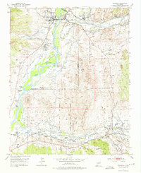
Editions of this 1953 Espanola Map
Other maps of this area

1889 · Santa Fe
USGS Topo · 1:125,000

1892 · Santa Clara
USGS Topo · 1:125,000

1894 · Santa Fe
USGS Topo · 1:125,000

1918 · Abiquiu
USGS Topo · 1:125,000

1952 · White Rock
USGS Topo · 1:24,000

1952 · Puye
USGS Topo · 1:24,000

1953 · Tesuque
USGS Topo · 1:24,000

1953 · Espanola
USGS Topo · 1:24,000

1953 · Chili
USGS Topo · 1:24,000

1953 · San Juan Pueblo
USGS Topo · 1:24,000