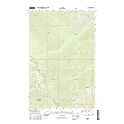
2017 Map of Essex
USGS Topo · Published 2017About this map
The settlement of Essex serves as a central gateway between the protected wilderness of Glacier National Park to the north and Flathead National Forest to the south. This alpine landscape is defined by the high-elevation corridors of John F Stevens Canyon and Theodore Roosevelt Pass, which have historically provided the primary passage through this section of the Rocky Mountains. The Middle Fork Flathead River carves a deep valley that dictates the path of local infrastructure, including Patti's Rd and the Fielding Branch Rd. Surrounding the river valley, several prominent peaks dominate the terrain, including Scalplock Mtn, Running Rabbit Mtn, and Snowslip Mtn. The presence of Fielding and various creek drainages like Ole Creek and Essex Creek illustrate how water and transport routes shaped human activity in this mountain pass.
Find a feature on this map
56 named features on this map. Tap any name to fly to it.
Don’t see what you’re looking for? This feature index may not catch every label — zoom into the map to look around manually.
Map Details
Editions of this 2017 Essex Map
This is the sole edition of this map. No revisions or reprints were ever made.
Other maps of this area

1913 · Marias Pass
USGS Topo · 1:125,000

1914 · Nyack
USGS Topo · 1:125,000

1958 · Nimrod
USGS Topo · 1:24,000

1958 · Mount Bradley
USGS Topo · 1:24,000

1958 · Felix Peak
USGS Topo · 1:24,000

1960 · Cut Bank
USGS Topo · 1:250,000

1963 · Cut Bank
USGS Topo · 1:250,000

1964 · Cut Bank
USGS Topo · 1:250,000

1964 · Essex
USGS Topo · 1:24,000

1964 · Pinnacle
USGS Topo · 1:24,000