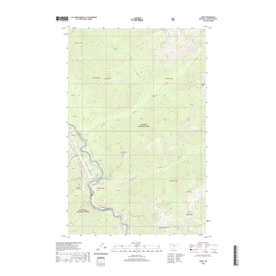
2020 Map of Essex
USGS Topo · Published 2020About this map
Essex sits at the southwestern gateway to the high peaks of the northern Rockies, positioned where the Middle Fork Flathead River carves through the deep gap of John F Stevens Canyon. This terrain is defined by the meeting of Glacier National Park to the north and the Flathead National Forest to the south. The mountain corridor serves as a critical transportation artery, hosting US Highway 2 as it winds toward Theodore Roosevelt Pass. High-elevation landmarks such as Scalplock Mtn, Snowslip Mtn, and Running Rabbit Mtn overlook a network of drainages including Ole Creek and the Fielding area. The map illustrates how human movement is strictly channeled by the sharp topography of the canyon floor, with most infrastructure clinging to the narrow riverbanks below the massive slopes of Mt Shields and Soldier Mtn.
Find a feature on this map
56 named features on this map. Tap any name to fly to it.
Don’t see what you’re looking for? This feature index may not catch every label — zoom into the map to look around manually.
Map Details
Editions of this 2020 Essex Map
This is the sole edition of this map. No revisions or reprints were ever made.
Other maps of this area
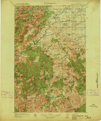
1913 · Marias Pass
USGS Topo · 1:125,000
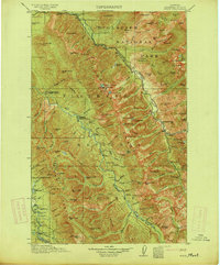
1914 · Nyack
USGS Topo · 1:125,000
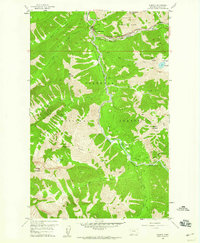
1958 · Nimrod
USGS Topo · 1:24,000
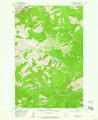
1958 · Mount Bradley
USGS Topo · 1:24,000
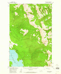
1958 · Felix Peak
USGS Topo · 1:24,000
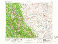
1960 · Cut Bank
USGS Topo · 1:250,000
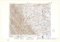
1963 · Cut Bank
USGS Topo · 1:250,000
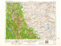
1964 · Cut Bank
USGS Topo · 1:250,000
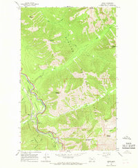
1964 · Essex
USGS Topo · 1:24,000
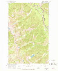
1964 · Pinnacle
USGS Topo · 1:24,000