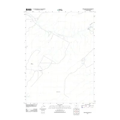
2012 Map of Essex Mountain
USGS Topo · Published 2012About this map
Essex Mountain dominates this portion of Sweetwater County, rising as a prominent high point in a landscape defined by dramatic geological breaks and seasonal water sources. The drainage of Jack Morrow Cr winds through the northern half of the quadrangle, carving features such as Box Canyon along its course. This area serves as a critical point of passage, marked by the narrow corridor at Indian Gap and the expansive southern boundary formed by the Steamboat Rim. Evidence of the region's historical reliance on reliable water for transit and ranching is seen in the scattered locations of Marine Spring, Box Spring, and Hillside Springs. The lone improved path, Freighter Gap Rd, skirts the northeastern corner, tracing a route that historically connected these isolated water sources through the desert terrain.
Find a feature on this map
9 named features on this map. Tap any name to fly to it.
Don’t see what you’re looking for? This feature index may not catch every label — zoom into the map to look around manually.
Map Details
Editions of this 2012 Essex Mountain Map
This is the sole edition of this map. No revisions or reprints were ever made.
Other maps of this area

1954 · Rock Springs
USGS Topo · 1:250,000

1955 · Lander
USGS Topo · 1:250,000

1958 · Lander
USGS Topo · 1:250,000

1958 · Rock Springs
USGS Topo · 1:250,000

1958 · Essex Mountain
USGS Topo · 1:62,500

1958 · Boars Tusk
USGS Topo · 1:62,500

1958 · Tule Butte
USGS Topo · 1:24,000

1958 · Freighter Gap
USGS Topo · 1:62,500

1958 · Superior
USGS Topo · 1:62,500

1961 · Lander
USGS Topo · 1:250,000