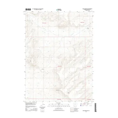
2015 Map of Essex Mountain
USGS Topo · Published 2015About this map
Essex Mtn and the high tablelands of Sweetwater County define this portion of the Red Desert region. This high-altitude landscape is shaped by the prominent Steamboat Rim and the deep incisions of LaFonte Canyon and Box Canyon. Historically, these features served as vital landmarks for those traversing the high plains, with Indian Gap providing a natural passage through the elevated terrain. Water sources are critical in this arid environment, marked by isolated points such as Marine Spring, Box Spring, and Rock Cabin Spring. The drainage of Jack Morrow Cr cuts across the northern sections, while the presence of CR 83 indicates the limited modern infrastructure within this expansive public land survey system. The map captures a topography where cattle ranching and geological exploration are the primary human imprints on the land.
Find a feature on this map
23 named features on this map. Tap any name to fly to it.
Don’t see what you’re looking for? This feature index may not catch every label — zoom into the map to look around manually.
Map Details
Editions of this 2015 Essex Mountain Map
This is the sole edition of this map. No revisions or reprints were ever made.
Other maps of this area

1954 · Rock Springs
USGS Topo · 1:250,000

1955 · Lander
USGS Topo · 1:250,000

1958 · Lander
USGS Topo · 1:250,000

1958 · Rock Springs
USGS Topo · 1:250,000

1958 · Essex Mountain
USGS Topo · 1:62,500

1958 · Boars Tusk
USGS Topo · 1:62,500

1958 · Tule Butte
USGS Topo · 1:24,000

1958 · Freighter Gap
USGS Topo · 1:62,500

1958 · Superior
USGS Topo · 1:62,500

1961 · Lander
USGS Topo · 1:250,000