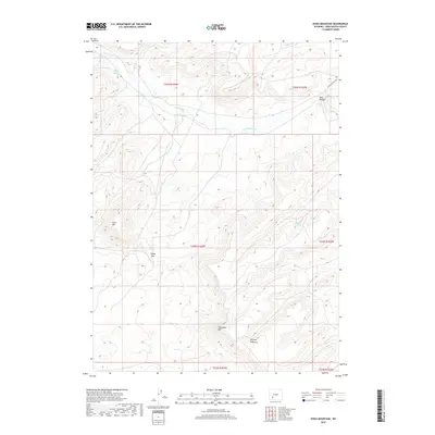
2017 Map of Essex Mountain
USGS Topo · Published 2017About this map
Essex Mtn rises as a prominent landmark in this high desert landscape of Sweetwater County, overlooking a network of seasonal water sources and rugged drainages. The 2017 terrain data highlights the strategic passage at Indian Gap and the sheer elevations of Steamboat Rim, which dictate the movement of both water and travelers through this arid region. The presence of Freighter Gap Rd in the northeast corner serves as a reminder of the historical transportation routes that navigated these gaps between high ridges. Hydrological features such as Jack Morrow Cr and isolated water points like Marine Spring, Box Spring, and Hillside Springs define the life-sustaining points of interest for livestock and wildlife in a landscape otherwise dominated by landforms like Box Canyon and LaFonte Canyon.
Find a feature on this map
16 named features on this map. Tap any name to fly to it.
Don’t see what you’re looking for? This feature index may not catch every label — zoom into the map to look around manually.
Map Details
Editions of this 2017 Essex Mountain Map
This is the sole edition of this map. No revisions or reprints were ever made.
Other maps of this area

1954 · Rock Springs
USGS Topo · 1:250,000

1955 · Lander
USGS Topo · 1:250,000

1958 · Lander
USGS Topo · 1:250,000

1958 · Rock Springs
USGS Topo · 1:250,000

1958 · Essex Mountain
USGS Topo · 1:62,500

1958 · Boars Tusk
USGS Topo · 1:62,500

1958 · Tule Butte
USGS Topo · 1:24,000

1958 · Freighter Gap
USGS Topo · 1:62,500

1958 · Superior
USGS Topo · 1:62,500

1961 · Lander
USGS Topo · 1:250,000