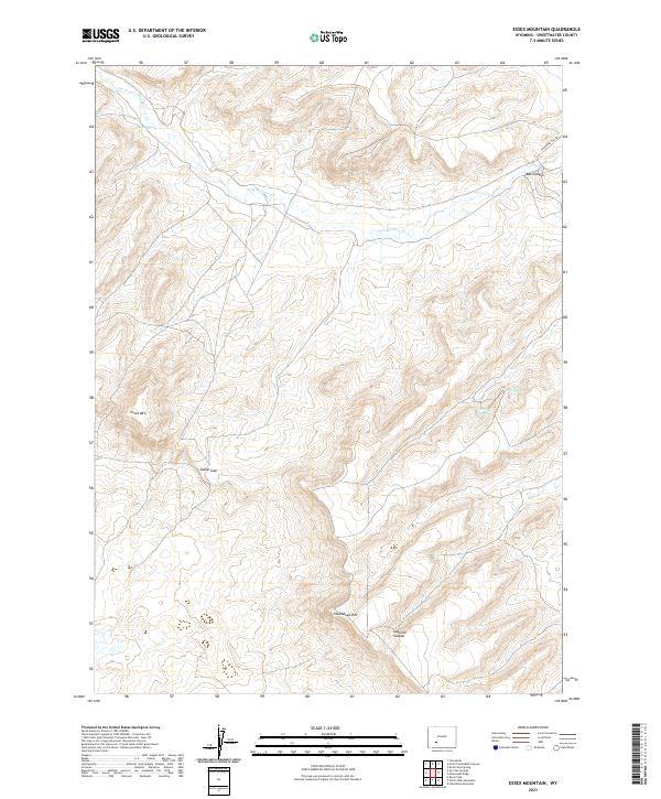
2021 Map of Essex Mountain
USGS Topo · Published 2021About this map
Essex Mountain stands as a prominent landmark in this high-altitude desert landscape of Sweetwater County, where the high desert floor gives way to complex drainage patterns and dramatic escarpments. The terrain is defined by the sweeping arc of Steamboat Rim and the deep incision of LaFonte Canyon in the southern portion of the sheet. Vital water sources like Marine Spring, Hillside Springs, and Box Spring indicate the critical points of relief for travelers and livestock in an otherwise arid environment. Evidence of historical transit is found in the northern reaches, where Freighter Gap Rd winds through the high country toward Box Canyon. Several branches of Jack Morrow Creek provide the primary drainage for the area, flowing through the pass at Indian Gap and shaping the basins between the rugged plateaus.
Find a feature on this map
16 named features on this map. Tap any name to fly to it.
Don’t see what you’re looking for? This feature index may not catch every label — zoom into the map to look around manually.
Map Details
Editions of this 2021 Essex Mountain Map
This is the sole edition of this map. No revisions or reprints were ever made.
Other maps of this area

1954 · Rock Springs
USGS Topo · 1:250,000

1955 · Lander
USGS Topo · 1:250,000

1958 · Lander
USGS Topo · 1:250,000

1958 · Rock Springs
USGS Topo · 1:250,000

1958 · Essex Mountain
USGS Topo · 1:62,500

1958 · Boars Tusk
USGS Topo · 1:62,500

1958 · Tule Butte
USGS Topo · 1:24,000

1958 · Freighter Gap
USGS Topo · 1:62,500

1958 · Superior
USGS Topo · 1:62,500

1961 · Lander
USGS Topo · 1:250,000