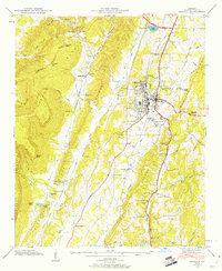
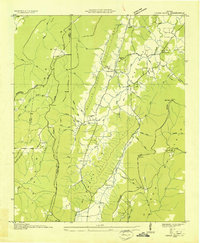
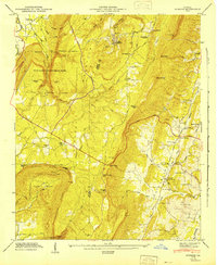
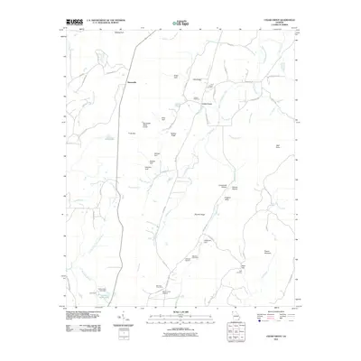
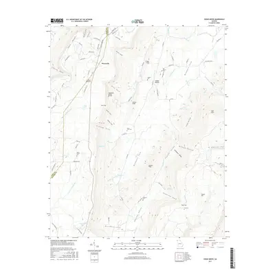
1946 Map of Estelle
USGS Topo · Published 1960About this map
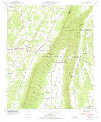
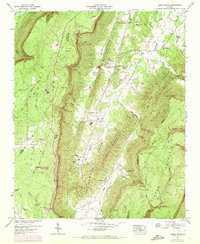
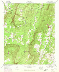
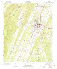
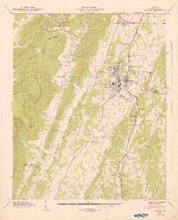
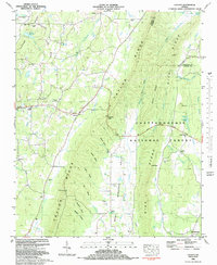
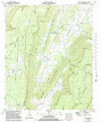
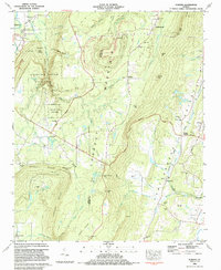
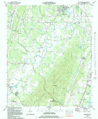
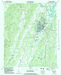
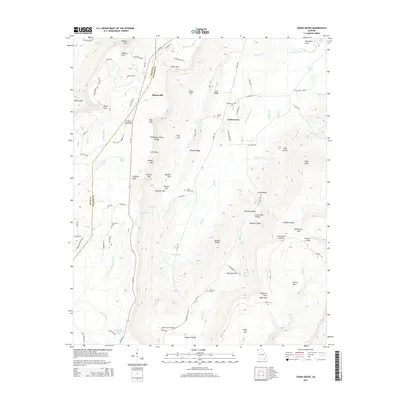
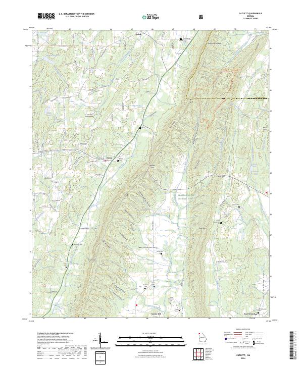
The ridge-and-valley landscape of Walker County is defined here by the towering Pigeon Mountain and Lookout Mountain, creating a dramatic corridor for the Central of Georgia railroad. In the valley below, the seat of La Fayette serves as a hub of activity, featuring a Sewage Disposal Plant, a Pumping Station, and even a Golf Course by the mid-1940s. The surrounding rural landscape is dotted with ancestral markers such as the County Farm and numerous burial grounds including Caldwell Cem and Shaw Cem.
Find a feature on this map
67 named features on this map. Tap any name to fly to it.
Don’t see what you’re looking for? This feature index may not catch every label — zoom into the map to look around manually.
Map Details
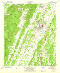
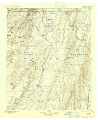
Editions of this 1946 Estelle Map
3 editions found
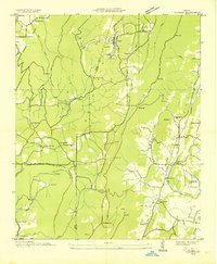
Historical Maps of LaFayette Through Time
40 maps found
1892 Catoosa
Walker County, GA

1935 Catlett
Walker County, GA
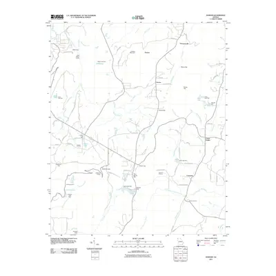
1935 Durham
Walker County, GA
1936 Cedar Grove
Walker County, GA

1936 Estelle
Walker County, GA

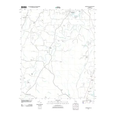
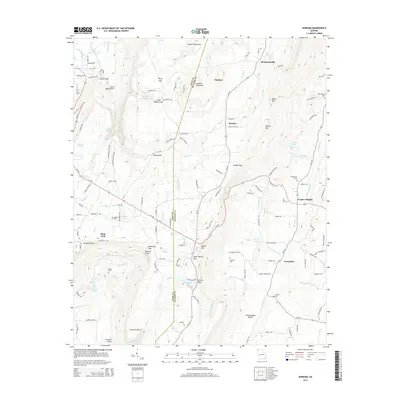
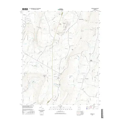
1936 Kensington
Walker County, GA
1946 Catlett
Walker County, GA
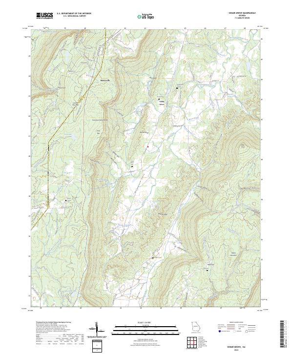
1946 Cedar Grove
Walker County, GA
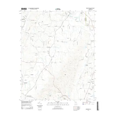
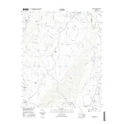
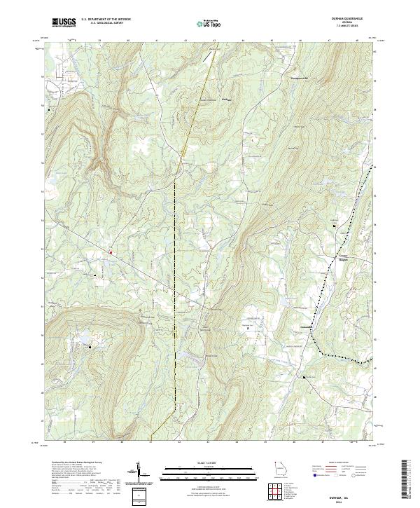
1946 Durham
Walker County, GA
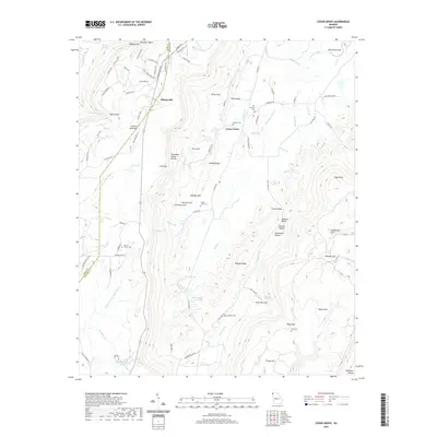
1946 Estelle
Walker County, GA
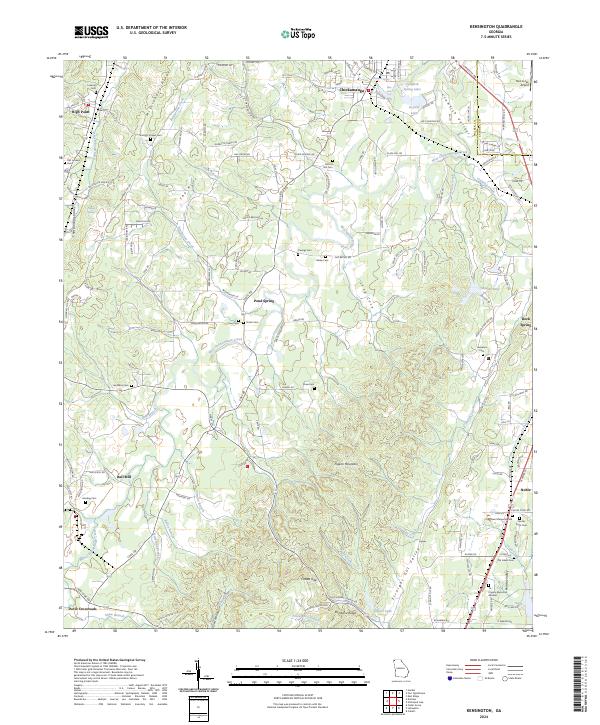
1946 Kensington
Walker County, GA
1947 Catlett
Walker County, GA
1947 Cedar Grove
Walker County, GA
1947 Durham
Walker County, GA
1947 Estelle
Walker County, GA
1982 Catlett
Walker County, GA
1982 Cedar Grove
Walker County, GA
1983 Durham
Walker County, GA
1983 Kensington
Walker County, GA
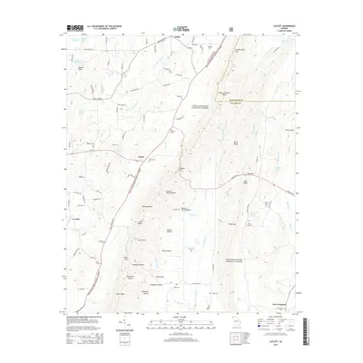
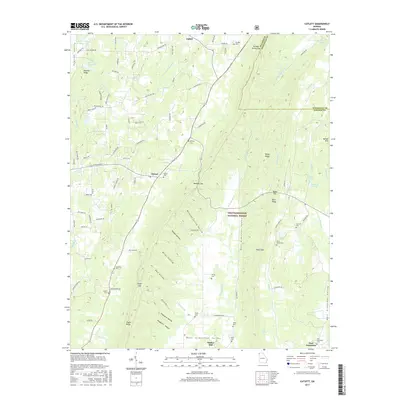
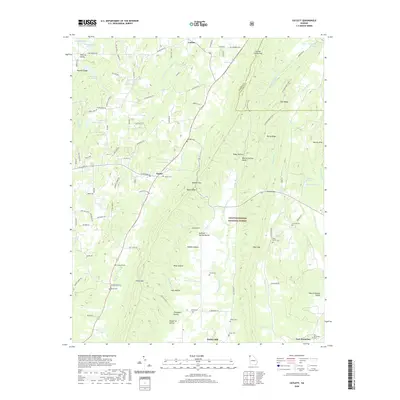
1983 Lafayette
Walker County, GA
2011 Catlett
Walker County, GA
2011 Cedar Grove
Walker County, GA
2011 Durham
Walker County, GA
2011 Kensington
Walker County, GA
2014 Catlett
Walker County, GA
2014 Cedar Grove
Walker County, GA
2014 Durham
Walker County, GA
2014 Kensington
Walker County, GA
2017 Catlett
Walker County, GA
2017 Cedar Grove
Walker County, GA
2017 Durham
Walker County, GA
2017 Kensington
Walker County, GA
2020 Catlett
Walker County, GA
2020 Cedar Grove
Walker County, GA
2020 Durham
Walker County, GA
2020 Kensington
Walker County, GA
2024 Catlett
Walker County, GA
2024 Cedar Grove
Walker County, GA
2024 Durham
Walker County, GA
2024 Kensington
Walker County, GA