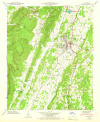
1946 Map of Estelle
USGS Topo · Published 1967About this map
Pigeon Mountain dominates the western skyline of this Walker County landscape, creating a dramatic physical barrier that forced mid-century infrastructure into the valley floor. Along this corridor, the Tennessee Alabama and Georgia Railway serves as a central spine, connecting settlements like Estelle, Shaw, and Linwood before reaching the regional hub of La Fayette. The 1946 field examination reveals a highly organized rural society, evidenced by the distribution of civic and religious landmarks such as Gordon Chapel, Valley Head Ch, and the Log Cabin Tabernacle.
Find a feature on this map
84 named features on this map. Tap any name to fly to it.
Don’t see what you’re looking for? This feature index may not catch every label — zoom into the map to look around manually.
Map Details
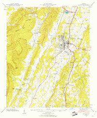
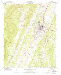
Editions of this 1946 Estelle Map
3 editions found
Other maps of this area

1886 · Ringgold
USGS Topo · 1:125,000

1892 · Ringgold
USGS Topo · 1:125,000

1935 · Catlett
USGS Topo · 1:24,000

1935 · Durham
USGS Topo · 1:24,000

1935 · Nickajack Gap
USGS Topo · 1:24,000

1936 · Kensington
USGS Topo · 1:24,000

1936 · Estelle
USGS Topo · 1:24,000

1936 · Dougherty Gap
USGS Topo · 1:24,000
1936 · Cedar Grove
USGS Topo · 1:24,000

1946 · Kensington
USGS Topo · 1:24,000