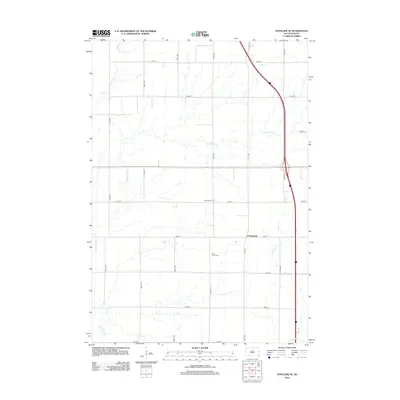
2012 Map of Estelline SE
USGS Topo · Published 2012About this map
Johnsonville and the nearby Johnsonville Corner anchor this rural landscape in Deuel County, where the topography is defined by the drainage patterns of the Big Sioux River valley. The map reveals a highly structured section-line road system, including 470th Ave and 196th St, which grid the agricultural terrain between small watercourses. Local history is centered at the Saint Johns Cem, located south of the main settlement. The land is intricately carved by several streams with distinctive local names, such as Peg Munky Run and Bullhead Run, which weave through the prairie toward the eastern edge of the quadrangle. This 2012 survey captures the persistent rural character of Grange Township, showing how modern transportation corridors like the highway along 472nd Ave bypass older established landmarks while following the natural contours shaped by N Deer Cr.
Find a feature on this map
21 named features on this map. Tap any name to fly to it.
Don’t see what you’re looking for? This feature index may not catch every label — zoom into the map to look around manually.
Map Details
Editions of this 2012 Estelline SE Map
This is the sole edition of this map. No revisions or reprints were ever made.
Other maps of this area

1953 · Watertown
USGS Topo · 1:250,000

1958 · Watertown
USGS Topo · 1:250,000

1968 · Brookings NE
USGS Topo · 1:24,000

1968 · Bruce
USGS Topo · 1:24,000

1969 · Dempster
USGS Topo · 1:24,000

1970 · White
USGS Topo · 1:24,000

1970 · Clear Lake South
USGS Topo · 1:24,000

1970 · Estelline SE
USGS Topo · 1:24,000

1970 · Estelline
USGS Topo · 1:24,000

1970 · Estelline NE
USGS Topo · 1:24,000