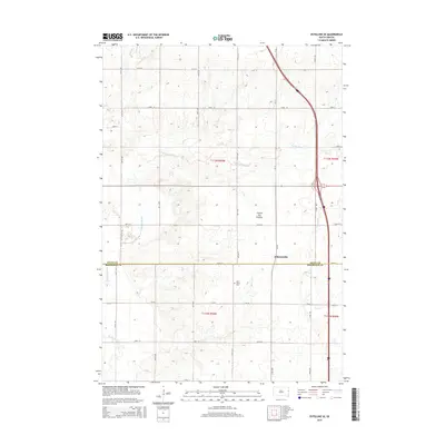
2015 Map of Estelline SE
USGS Topo · Published 2015About this map
Coteau des Prairies, a vast upland plateau, dominates the landscape of this eastern South Dakota borderland. The topography is defined by the gentle drainage of Peg Munky Run and N Deer Cr which flow toward the Big Sioux River visible in the southwest corner. The area is divided by the boundary between Deuel and Brookings Counties, following the line of 196th St.
Find a feature on this map
27 named features on this map. Tap any name to fly to it.
Don’t see what you’re looking for? This feature index may not catch every label — zoom into the map to look around manually.
Map Details
Editions of this 2015 Estelline SE Map
This is the sole edition of this map. No revisions or reprints were ever made.
Other maps of this area

1953 · Watertown
USGS Topo · 1:250,000

1958 · Watertown
USGS Topo · 1:250,000

1968 · Brookings NE
USGS Topo · 1:24,000

1968 · Bruce
USGS Topo · 1:24,000

1969 · Dempster
USGS Topo · 1:24,000

1970 · White
USGS Topo · 1:24,000

1970 · Clear Lake South
USGS Topo · 1:24,000

1970 · Estelline SE
USGS Topo · 1:24,000

1970 · Estelline
USGS Topo · 1:24,000

1970 · Estelline NE
USGS Topo · 1:24,000