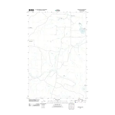
2011 Map of Ester Lake
USGS Topo · Published 2011About this map
Big Warm Creek snakes through this high plains landscape in the Lodge Pole District, defining a region where water management is critical to life. The 2011 survey reveals an intricate system of small-scale dams and reservoirs, such as Early Bird Dam, T-Bird Dam, and the Fort Belknap Number 7 Dam, which support local agricultural and ranching efforts. These features, along with names like Hog Farm Rd, reflect the working nature of the terrain.
Find a feature on this map
15 named features on this map. Tap any name to fly to it.
Don’t see what you’re looking for? This feature index may not catch every label — zoom into the map to look around manually.
Map Details
Editions of this 2011 Ester Lake Map
This is the sole edition of this map. No revisions or reprints were ever made.
Other maps of this area

1953 · Havre
USGS Topo · 1:250,000

1954 · Lewistown
USGS Topo · 1:250,000

1957 · Havre
USGS Topo · 1:250,000

1958 · Havre
USGS Topo · 1:250,000

1959 · Lewistown
USGS Topo · 1:250,000

1965 · Veseth Reservoir
USGS Topo · 1:24,000

1965 · Phillips
USGS Topo · 1:24,000

1965 · Wild Horse Reservoir
USGS Topo · 1:24,000

1971 · Big Flat East
USGS Topo · 1:24,000

1971 · Bear Mountain
USGS Topo · 1:24,000