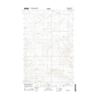
2014 Map of Ester Lake
USGS Topo · Published 2014About this map
Ester Lake and the seasonally shifting waters of Parrot Lake define this pocket of the northern Montana plains. The landscape is deeply etched by a network of drainage channels, notably Sage Hen Coulee and Spring Coulee, which dictate the movement of local travel. These natural contours influenced the placement of early transportation routes, such as the aptly named Stage Rd and Lodge Pole Rd, which intersect with the more modern Highway 204.
Find a feature on this map
17 named features on this map. Tap any name to fly to it.
Don’t see what you’re looking for? This feature index may not catch every label — zoom into the map to look around manually.
Map Details
Editions of this 2014 Ester Lake Map
This is the sole edition of this map. No revisions or reprints were ever made.
Other maps of this area

1953 · Havre
USGS Topo · 1:250,000

1954 · Lewistown
USGS Topo · 1:250,000

1957 · Havre
USGS Topo · 1:250,000

1958 · Havre
USGS Topo · 1:250,000

1959 · Lewistown
USGS Topo · 1:250,000

1965 · Veseth Reservoir
USGS Topo · 1:24,000

1965 · Phillips
USGS Topo · 1:24,000

1965 · Wild Horse Reservoir
USGS Topo · 1:24,000

1971 · Big Flat East
USGS Topo · 1:24,000

1971 · Bear Mountain
USGS Topo · 1:24,000